|
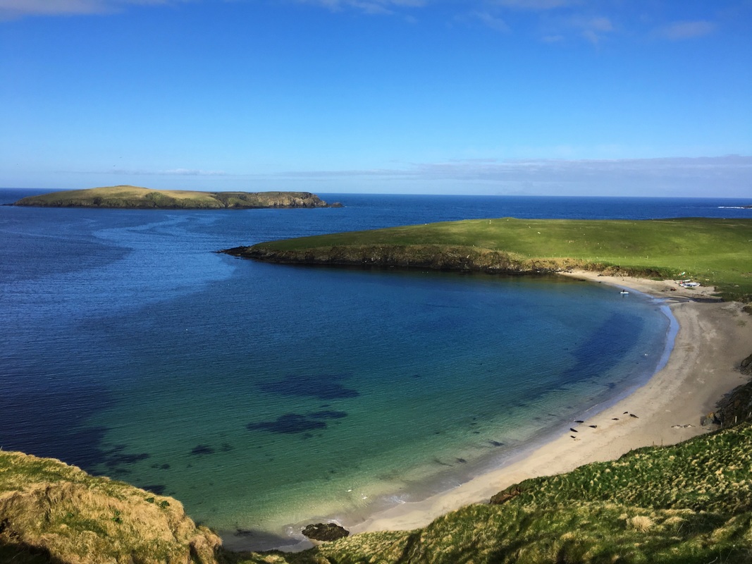
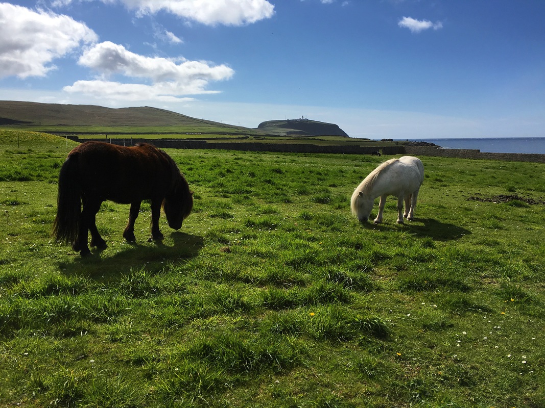
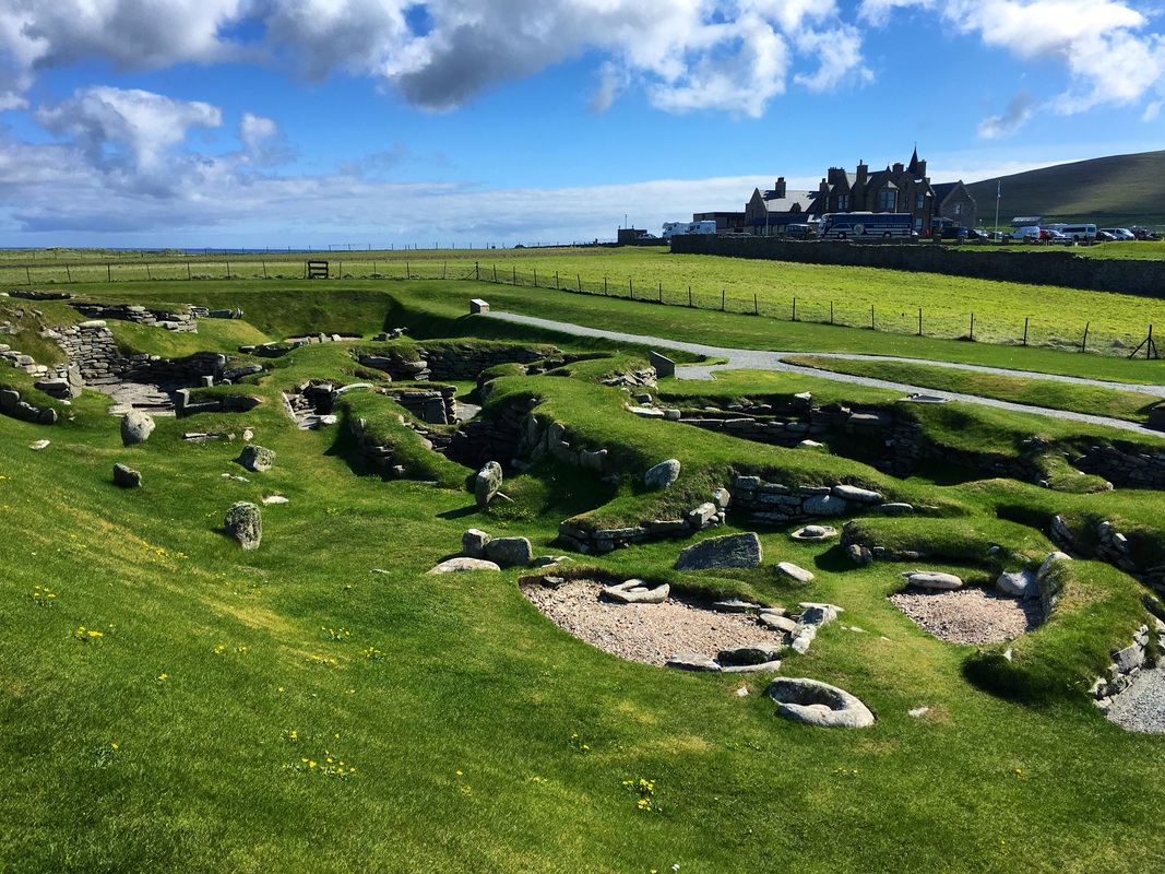
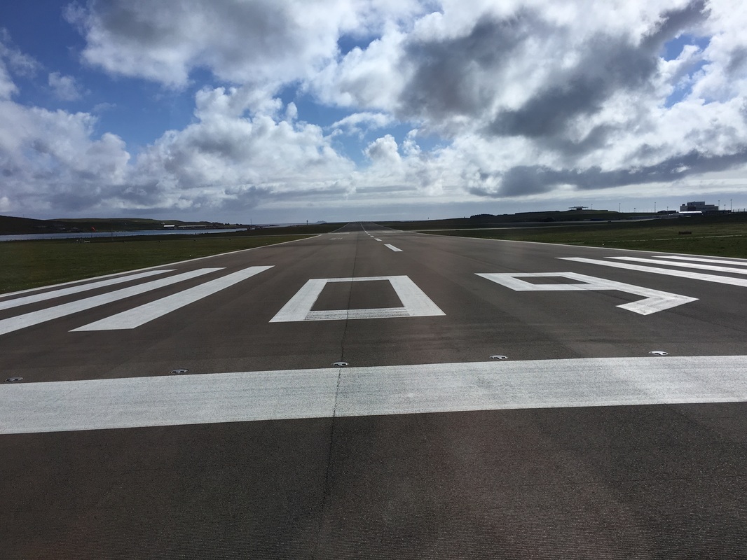
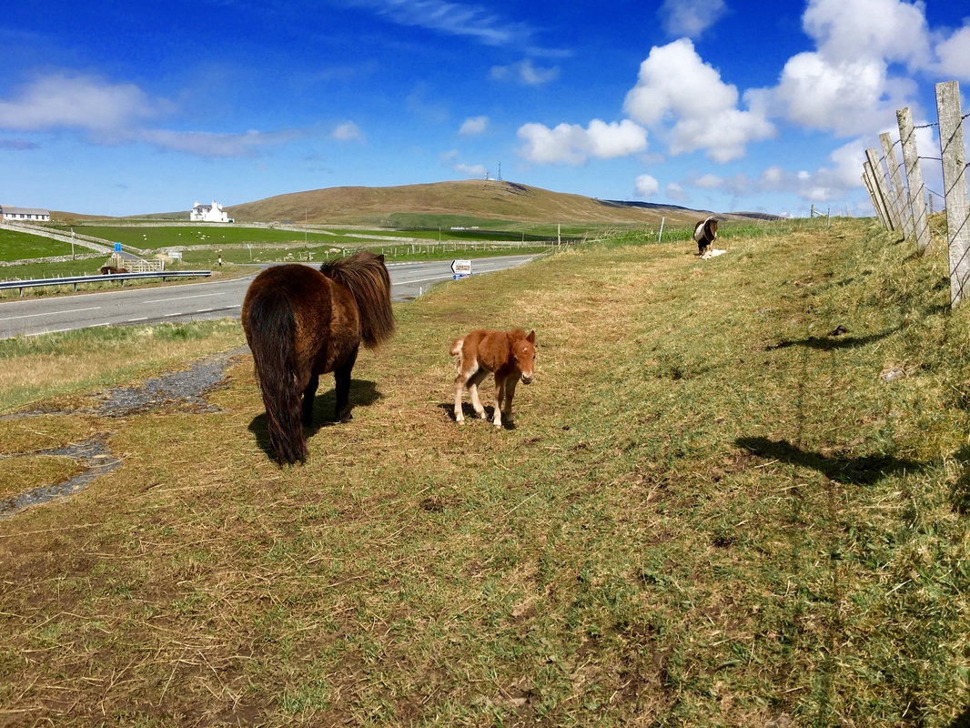
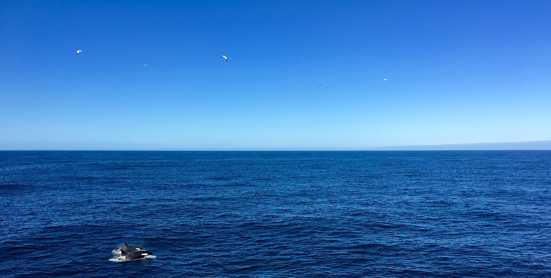
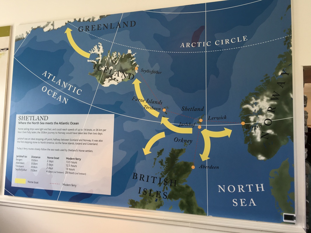
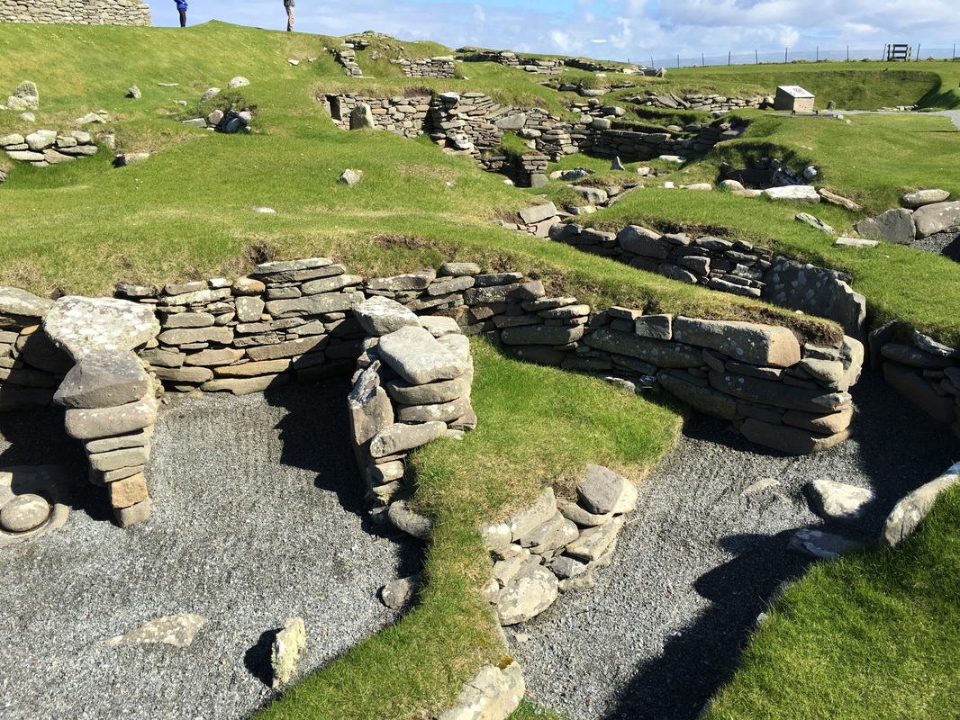
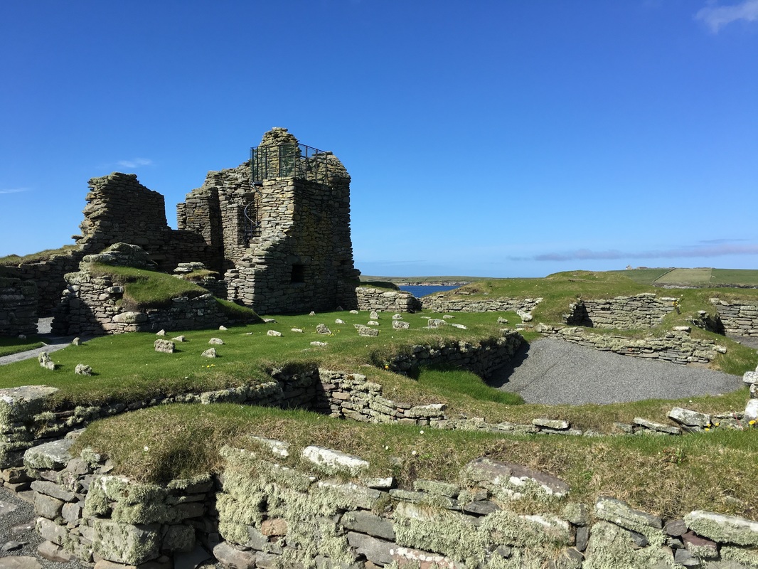
The rainclouds blew away overnight and we were welcomed into Shetland for our last excursion by a beautiful bluebird sky and warm sunshine. Because the two sites we planned to visit were on the other side of the island, we boarded a coach and made the long and winding journey to Sumburgh Head and Jarlshof. Our bus made a quick pass over Shetland's main runway and I remembered the hysterical A-Z of Shetland video Leah, Kristen and I discovered before the expedition. You can see it here. Our time in Shetland was a blur and we spent most of it on the bus, but we had some fantastic photo opportunities at a few stops along the way, including seal spotting along the gorgeous stretch of beach in the protected bay, newborn Shetland ponies, and a few nesting puffins at Sumburgh Head Lighthouse. We made a quick visit of Jarlshof, another archaeological site similar to Skara Brae but with Norse history as well. Visitors to Shetland might be surprised to learn to that the islanders here identify more with their Norse heritage than with their Scottish. In fact, the islands did not become part of Scotland until the 15th century and when Scotland became part of Great Britain in 1707, trade with the rest of Europe decreased, further distancing Shetland from its original roots. While traveling around Shetland, you'll see Norwegian flags proudly displayed outside homes and businesses; I think I only saw one Scottish flag during our whole morning on the island. Shetland is a great example for understanding the role geographic location plays in determining identity rather than political boundaries. As depicted in the map below, Shetland was an important central location on the route between Norway, the Faroe Island, Iceland, and on to Greenland. Because of its location and distance from the Scottish mainland, it was predominantly settled by vikings and the Norse who shifted their way of life from plundering to invasion and colonization. As we sailed away from Lerwick and began packing our bags for home, our expedition leader, Jen, made an exciting announcement that a small pod of killer whales had been spotted near the ship and Captain Ben was circling around for a closer look. All guests flocked to the deck for this rare and spectacular sighting. We watched as eight whales, including one female with a young calf, fed on fish and before deciding to come and investigate our ship. The whales came within less than 100 ft of the ship and we three Grosvenor Teacher Fellows felt blessed and overwhelmed with emotion by this wonderful encounter. None of us had ever seen killer whales in the wild before and I know that most people wait their entire lives to see them in their natural environment. This was a particularly special moment because, as the naturalists explained, Scotland's pod of killer whales has been in danger for the last few years and has not successfully produced any calves until now. Hopefully this pod remains safe and in the area for generations to come.
0 Comments
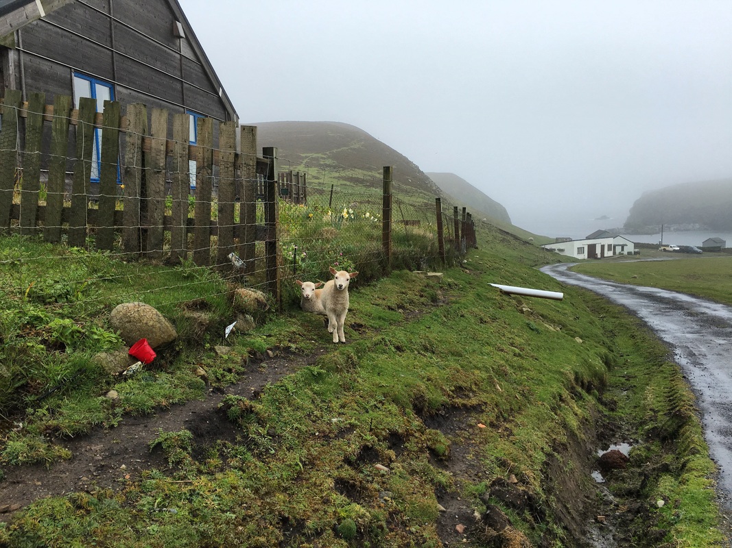
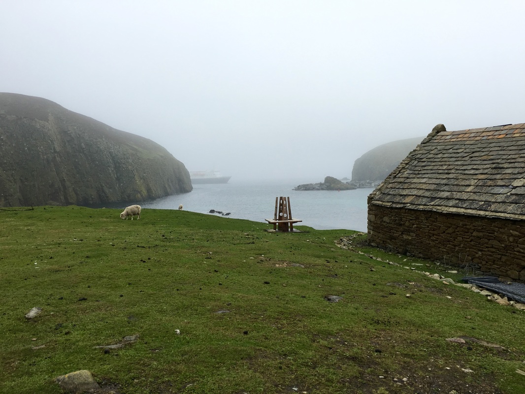
We have finally made it to the most remote inhabited island in the United Kingdom. 6 ft swells, wind, and dark, rainy conditions can't keep Grosvenor Teacher Fellows away. We were the first (and initially, the only) guests who chose to go ashore this morning. Determined to meet the islanders who were waiting for us at the community center, we geared up in our raincoats and wellies and took the first zodiac to the jetty where we were greeted by our naturalist friends, "OF COURSE it's the TEACHERS who came out in this!"
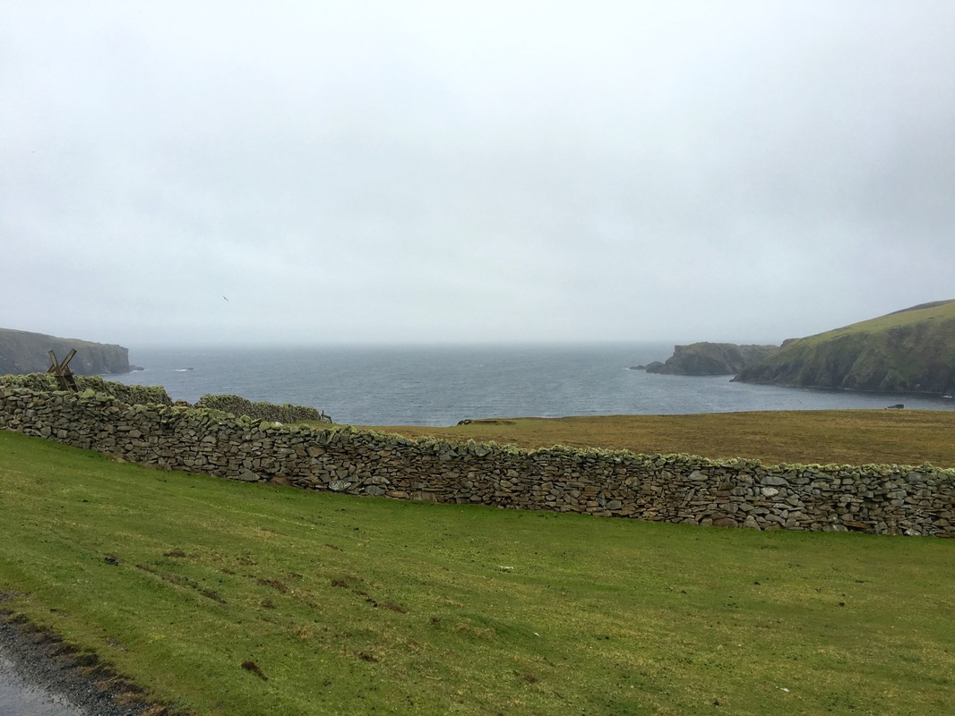
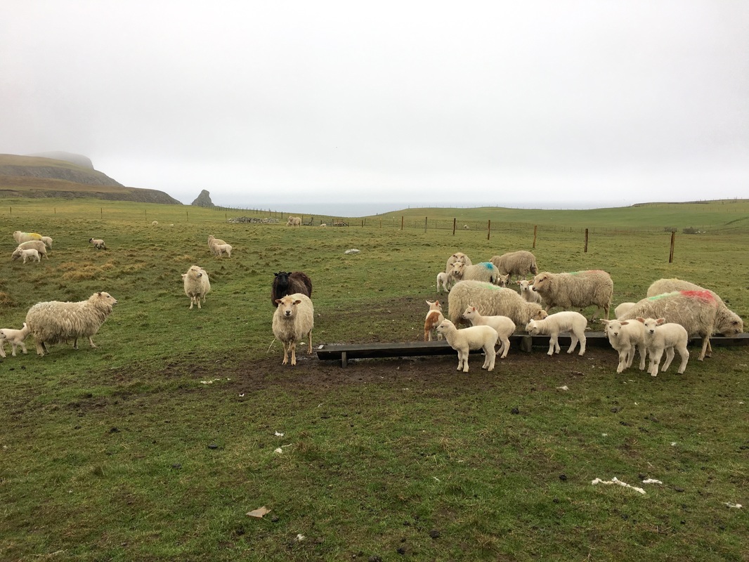
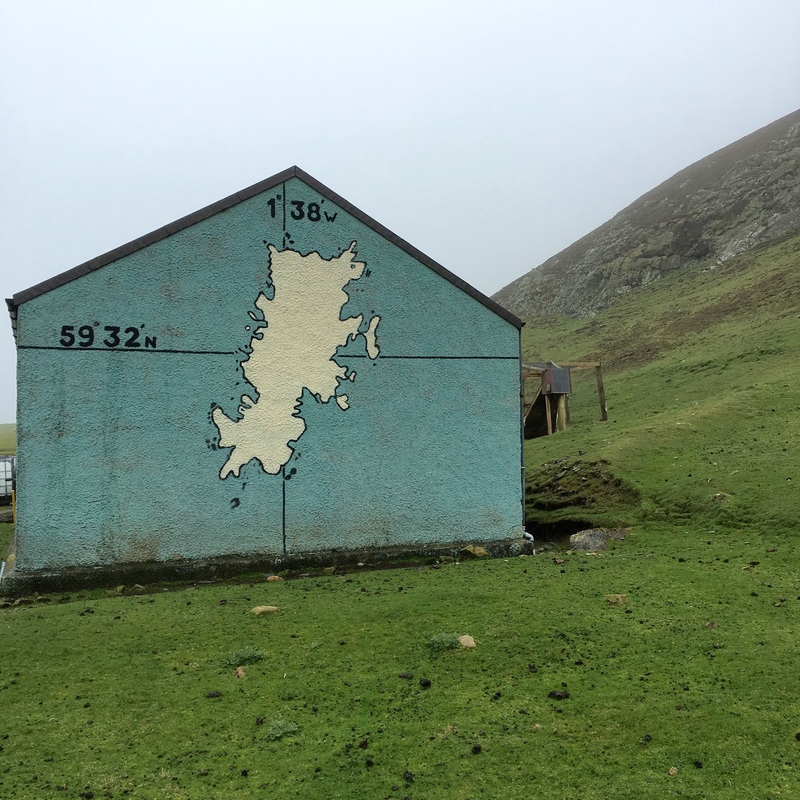
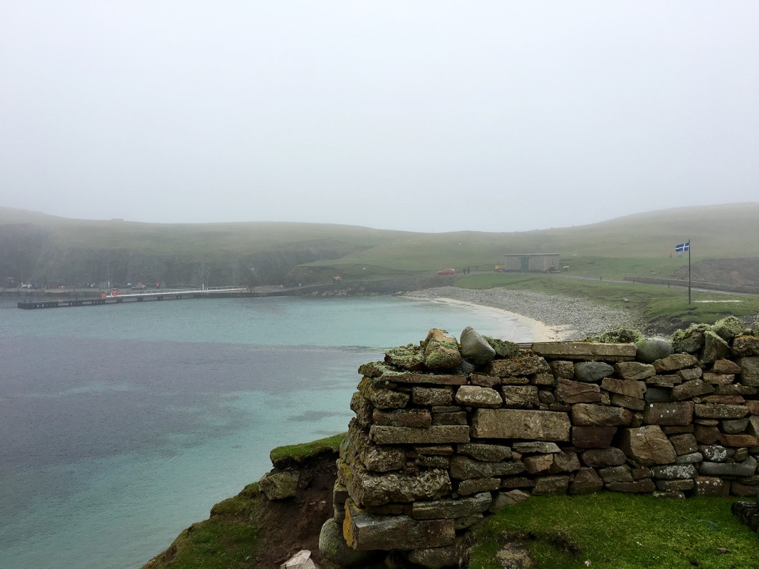
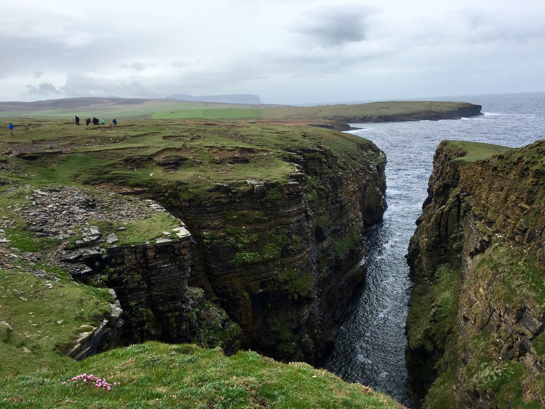
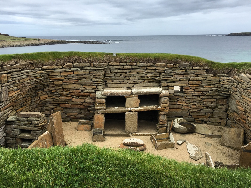
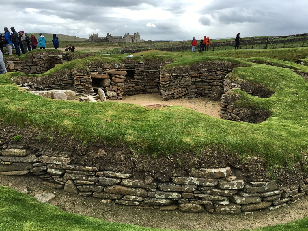
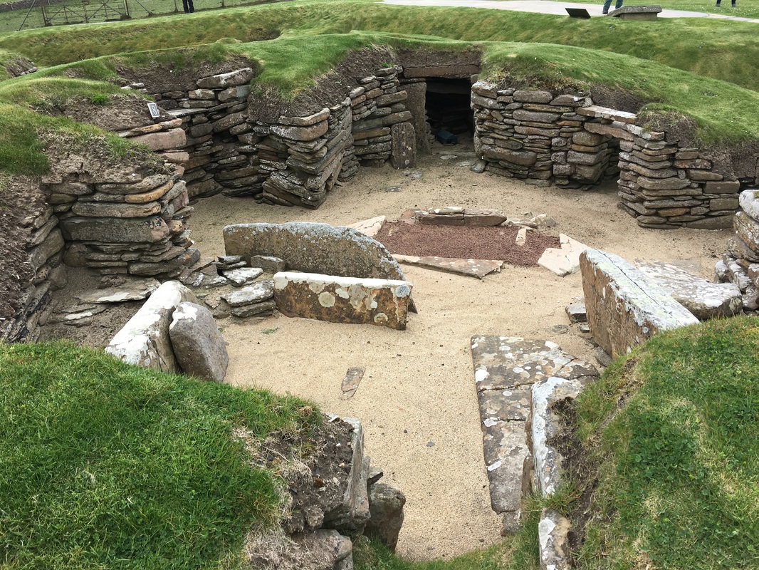
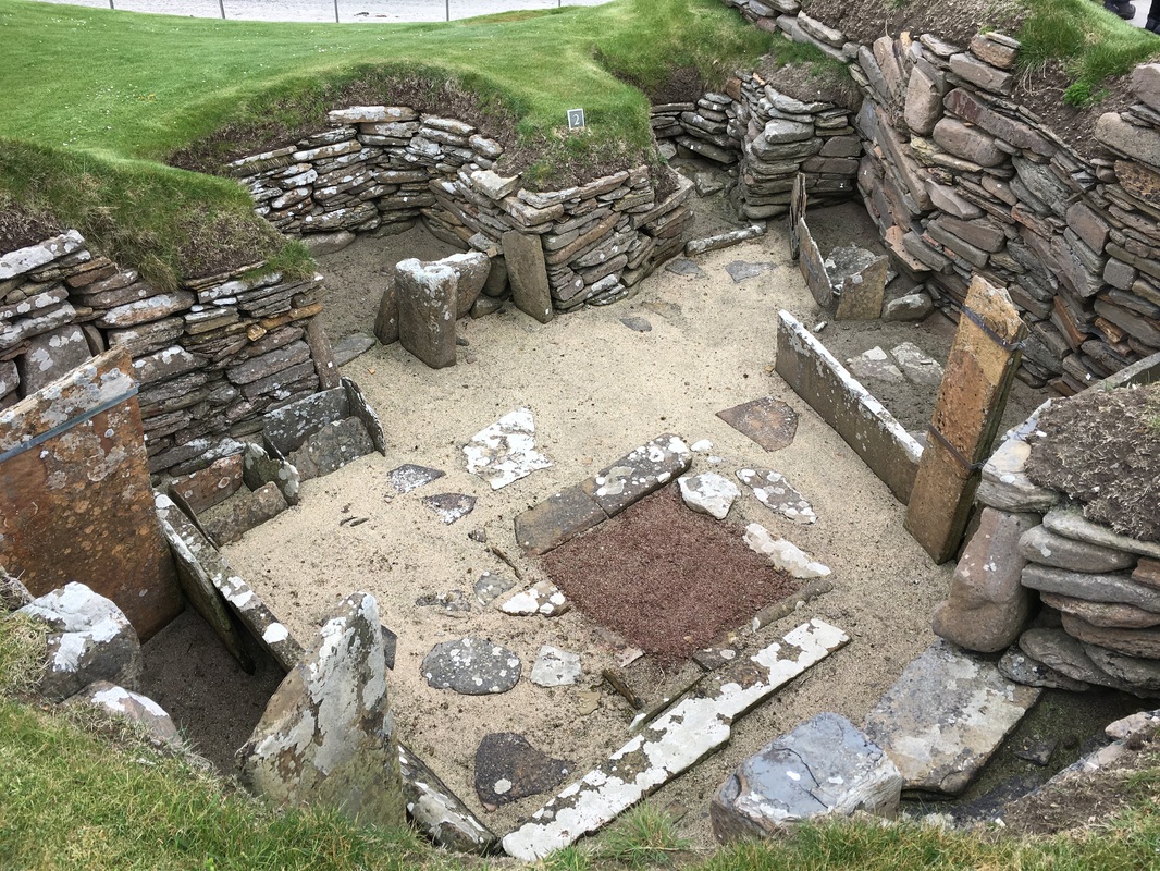
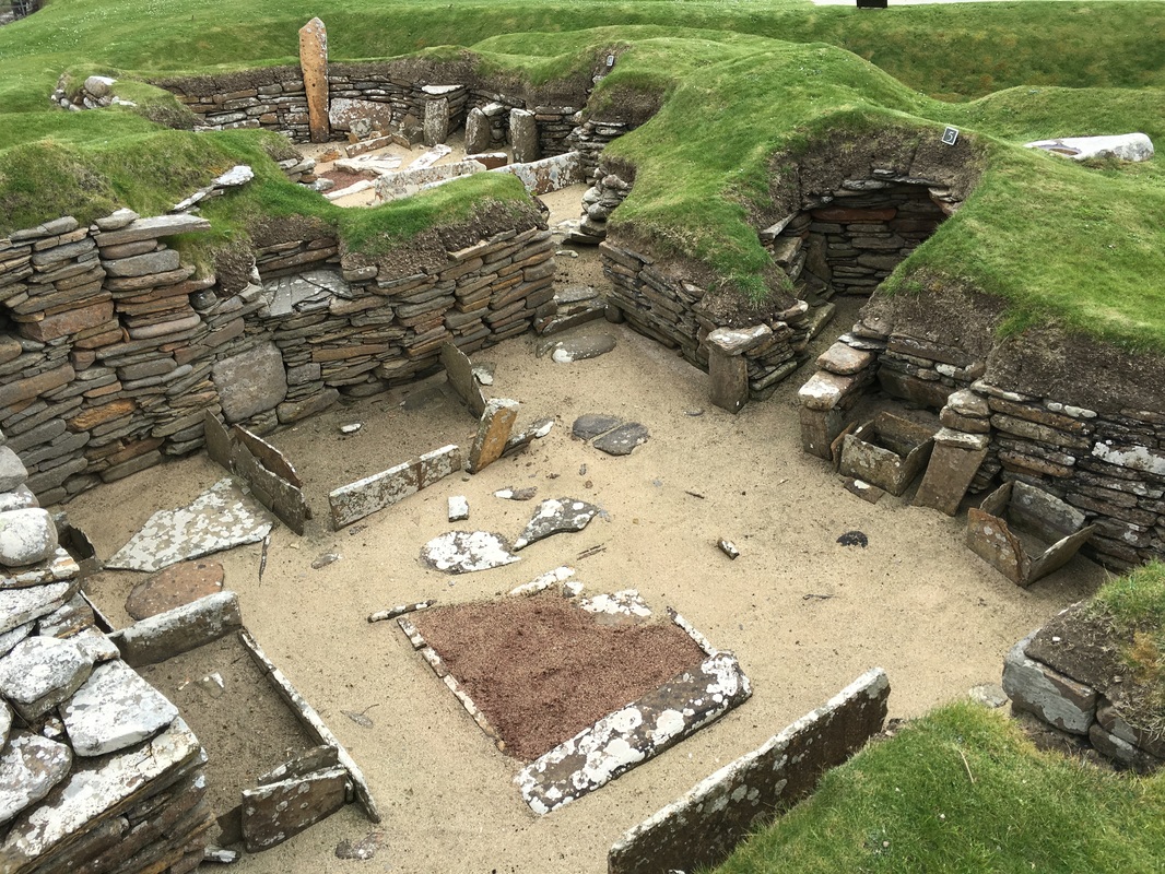
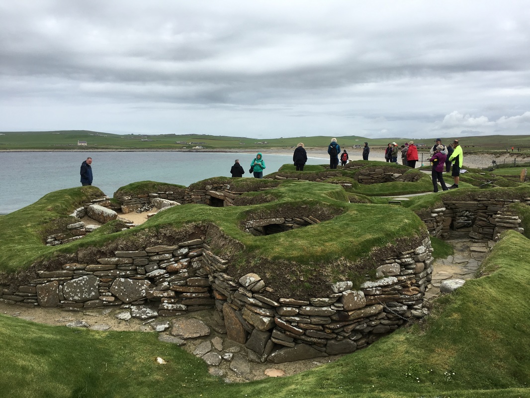
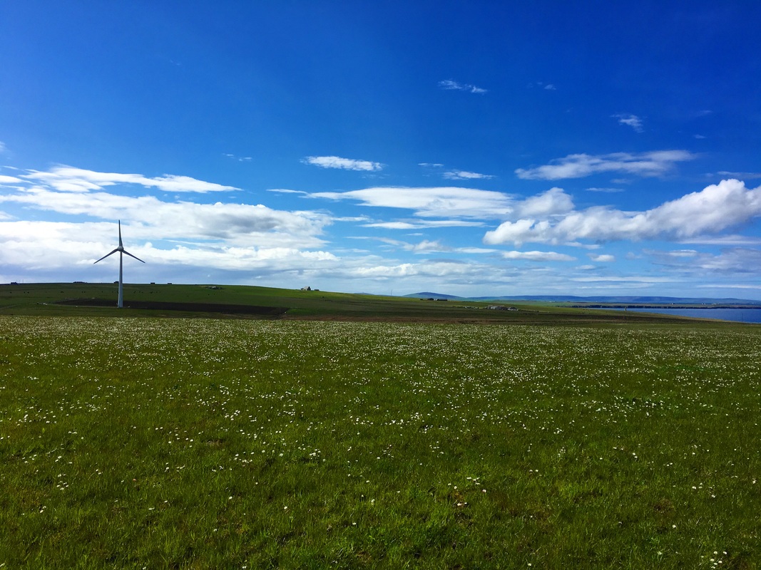
Blowing rain aside, Fair Isle is an emerald beauty midway between Orkney and Shetland in northern Scotland. It is home to somewhere around 60 inhabitants who mostly work as crofters and who also knit the most beautiful (and world famous) sweaters I have ever seen. Many of the islanders were waiting for us in the community center, which was stocked with hot tea, scones, and an array of handmade items available for sale. We naturally gravitated to the primary school teacher's table where she was selling Christmas cards, tea towels, and tote bags decorated with whimsical illustrations designed and drawn by her students. We were happy to purchase these unique gifts which the students sell throughout the year to pay for field trips and excursions to Shetland, where they eventually attend boarding school once they enter secondary school The teacher told us that this year she will have just 2 students on the entire island! And I thought my school was small (we graduate around 60)! It made me wonder how long the islanders will be able to sustain their way of life and how much they must rely on the sheep they raise to provide the wool for knitwear and of course customers to purchase these goods. Upon further exploration of Fair Isle, we learned that there are no pubs or restaurants on the island, however there is a bird observatory which provides meals for visitors. A small trailer houses the medical center for the island, but it is closed on weekends, so hopefully no one has any medical emergencies! The island is powered by two diesel generators and two wind turbines (we saw quite a few of these throughout the British Isles). The generators shut off when the wind turbines produce enough energy. Two cell phone carrier towers help to keep islanders connected to the mainland and beyond. There is a small airport on Fair Isle, with scheduled flights three times a week to nearby Lerwick in Shetland, but the main mode of transportation for people and goods alike are the ferries. During our time at the community center, I met a man who was formerly from the Albany, NY area, which is just three hours east of where I live. He moved to Fair Isle because he fell in love with the isolation and the way of life there. He said his family and friends thought he was crazy and keep asking when he's going to come back but he told me he has no plans to return and that he loves his life on Fair Isle. It was a pleasure to meet this man as well as some of the other islanders who welcomed us warmly. I have to admit, the island has an energy that does charm you to want to stay! Continuing our voyage north, our next stop was Orkney, which we explored almost entirely on foot. This morning we participated in a guided hike along the shore and across undulating fields before making our way to Skara Brae, a UNESCO World Heritage site dating back to 3100 BC. What impressed me most about Skara Brae was how closely the interior arrangement of Neolithic homes resemble ours today. When we think about the Neolithic era, we tend to characterize Neolithic man as being quite primitive, but what Skara Brae proves is that they were really quite sophisticated with homes that were as much about comfort as they were about function.
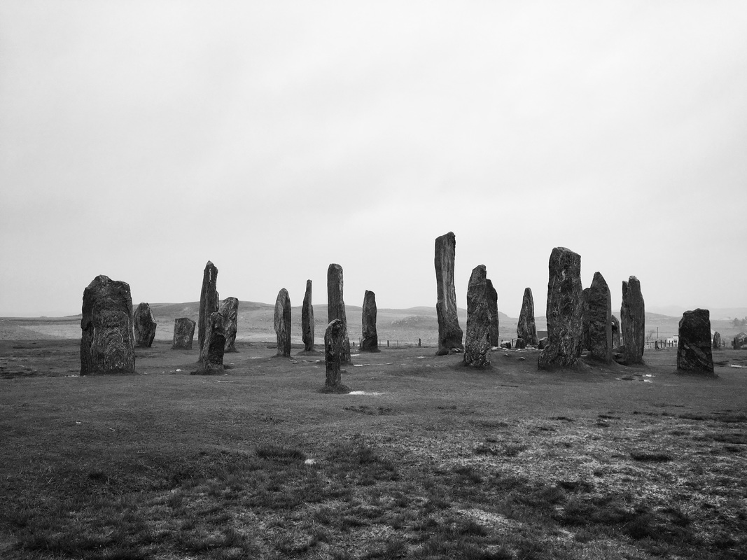
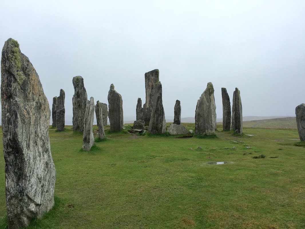
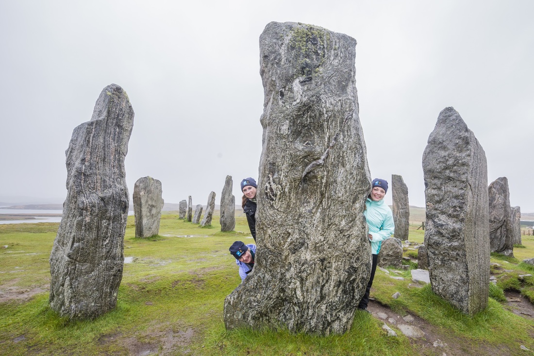
Skara Brae was first discovered in 1850 after a storm removed the top section of a sand dune that had covered the site long ago. Over time, the site was excavated and it is now a national monument protected by the National Trust for Scotland, but it remains vulnerable to coastal erosion from the constant onslaught of the sea. This is also the most likely the reason the village came to an end, along with changes in Neolithic society as the younger generations chose to drift away from the tight-knit communities in favor of larger, more widespread communities controlled by powerful leaders. The village itself is made up of 8 dwellings, linked together by covered passageways. Each dwelling shares the same basic design - a large center room with a hearth, a bed on either side, and a shelved dresser opposite the doorway. What's interesting is that none of the dwellings is more elaborate than another, which historians say might suggest that all inhabitants were equal in this community. Of course, this is only a theory based on our experience in modern life and the reason for the similarities may simply be a matter of practicality. Skara Brae is a remarkable site and is Europe's most complete Neolithic village that predates both the great pyramids as well as Stonehenge. We can't even come close to this level of advancement in human history where I'm from in NY. While there is some evidence that the first humans settled in this area around 9,000 years ago, they soon abandoned it and the second wave of inhabitants did not arrive until around 3,000 years ago. So if places like Skara Brae are older than the great pyramids, why have they received far less attention in our studies of human history? Did you know that Stonehenge is not the only standing stone site in the British Isles? There are actually dozens of these standing stone sites across both the British & Irish Isles. The Calanais Standing Stones, located on the Isle of Lewis in the Scottish Hebrides actually predate Stonehenge. Erected over 5,000 years ago, the Calanais Standing Stones were an important place of ritual for about 2,000 years. The stones are arranged in the shape of a Celtic cross and were most likely associated with the lunar calendar, however, archeologists still aren't exactly sure. Considering the massive size and weight of the stones, the erection of such a monument would have required many people, indicating that these sites were of great importance to people at that time. Tombs have been found around this site, but they were most likely added long after the stones were established and were perhaps not necessarily associated with the site's original purpose.
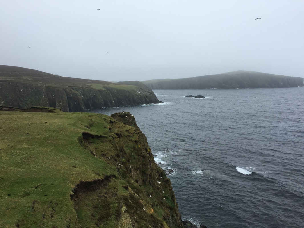
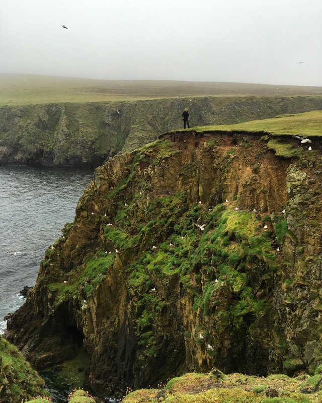
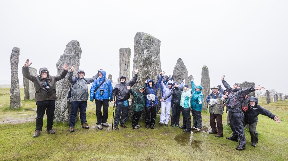
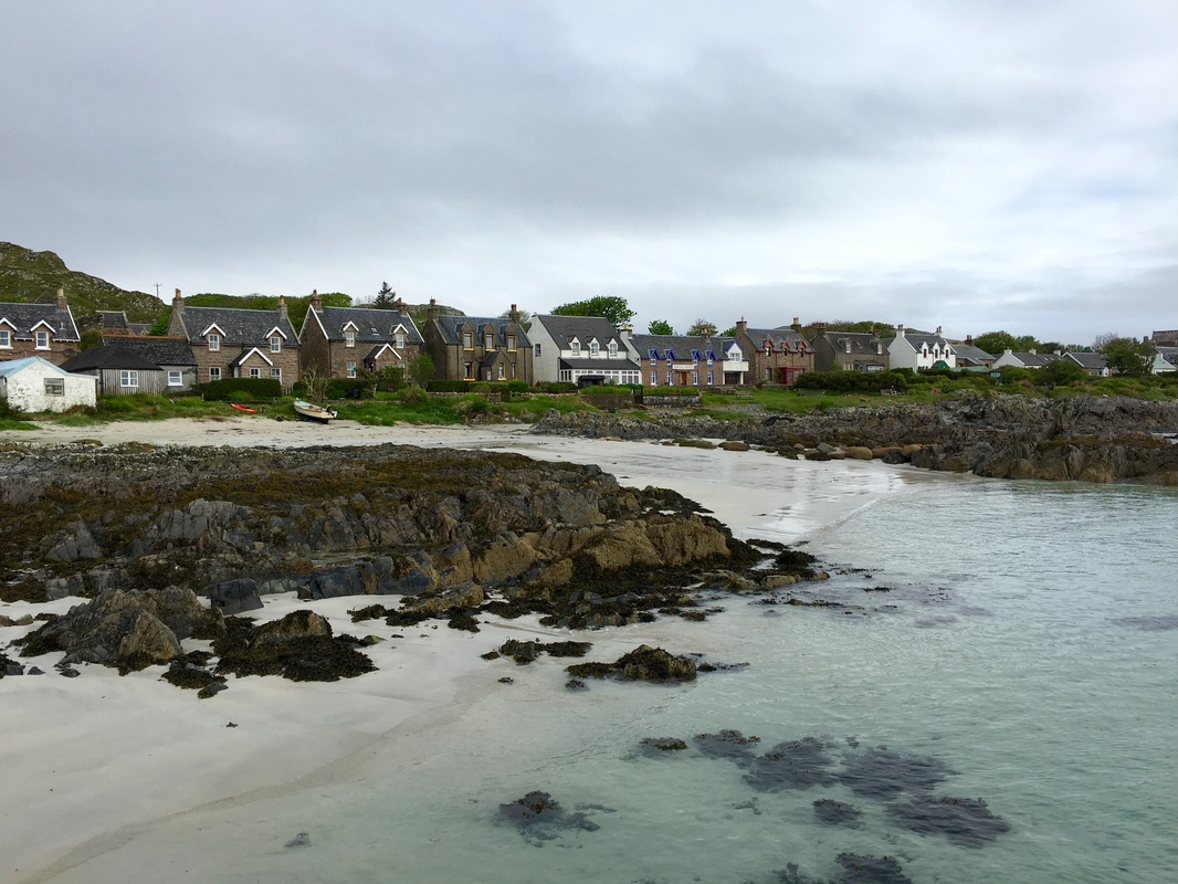
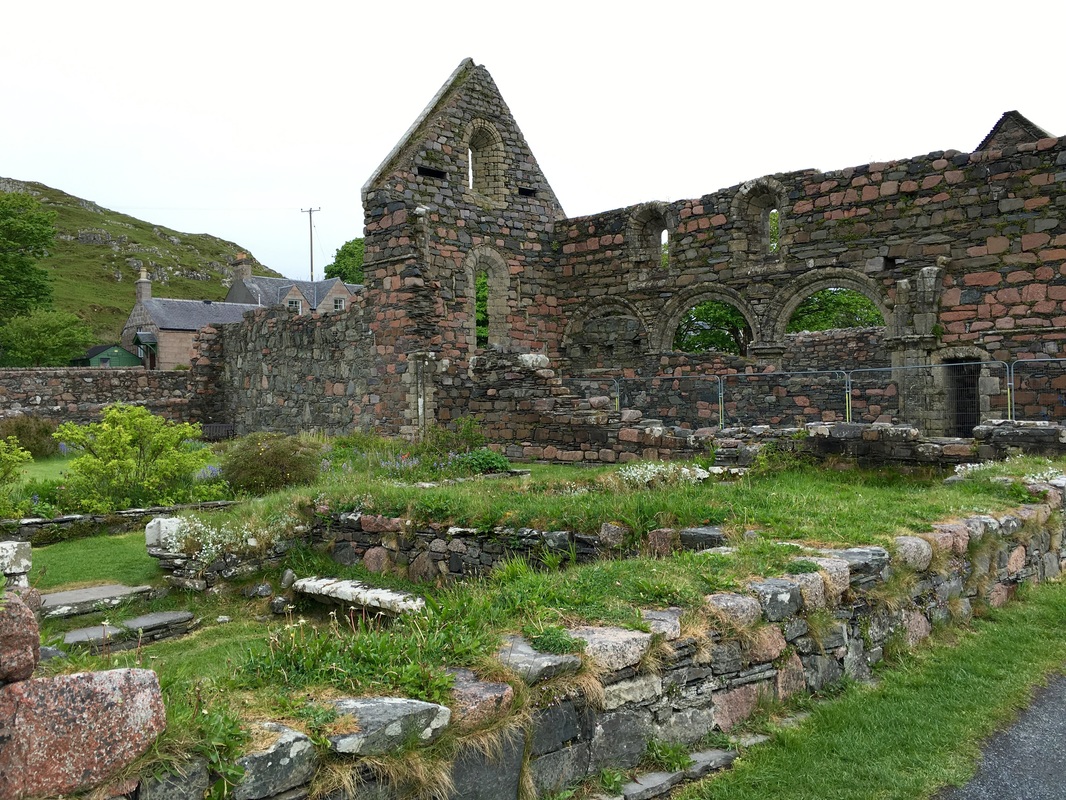
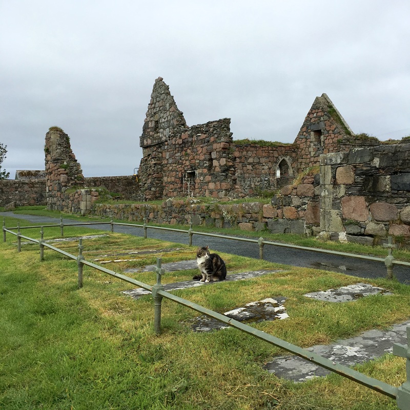
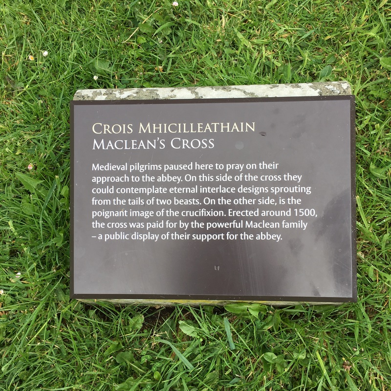
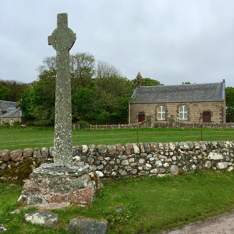
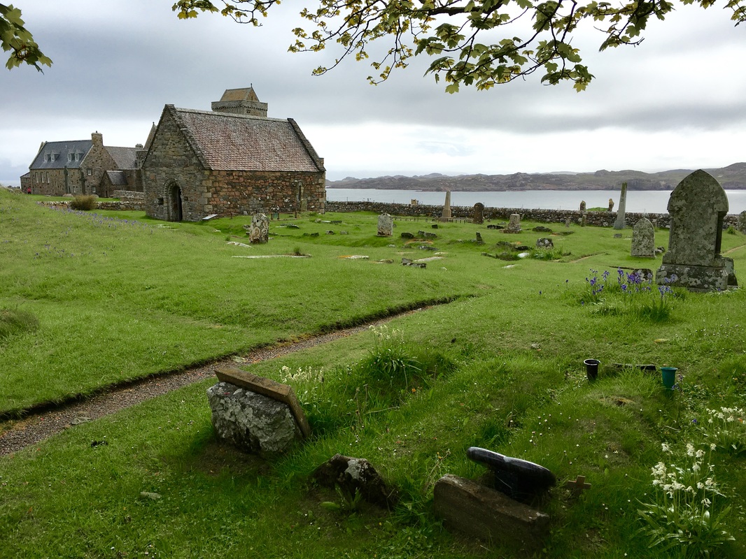
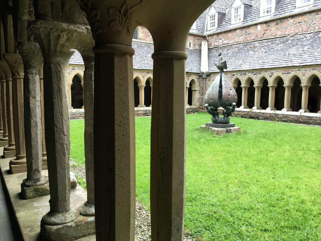
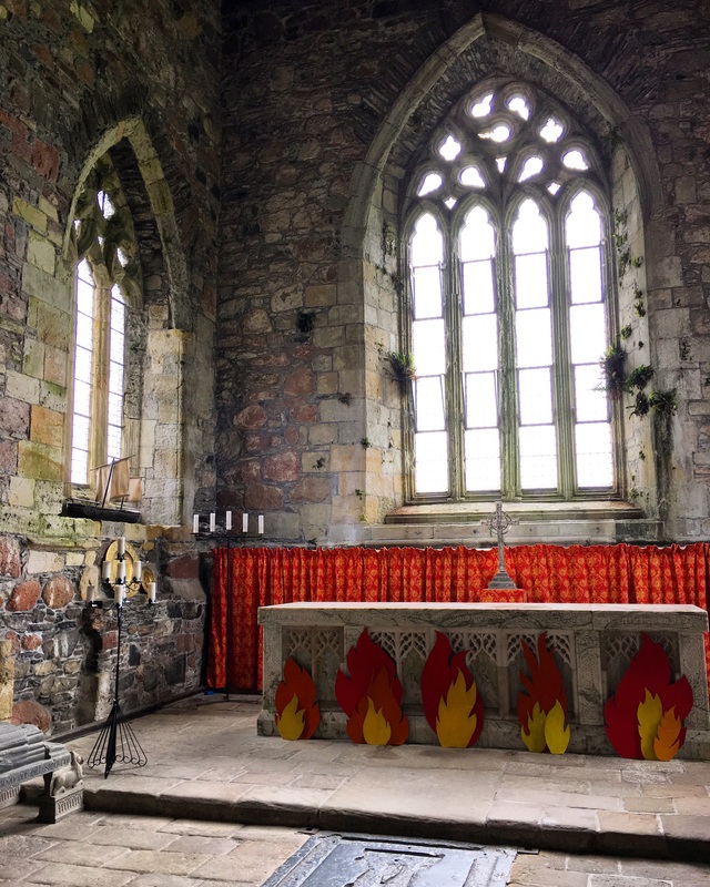
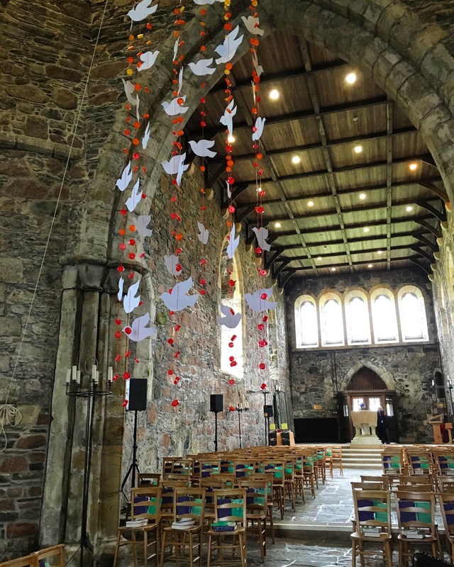
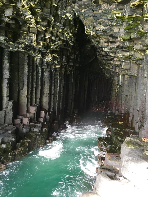
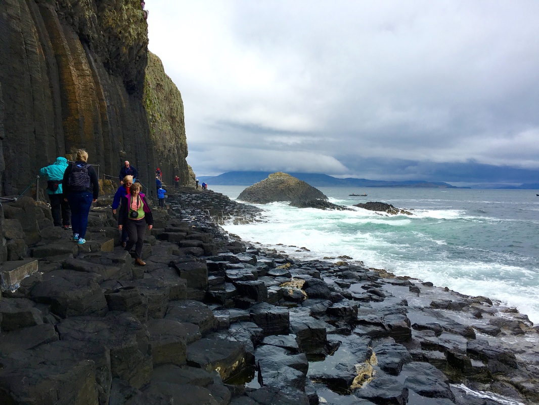
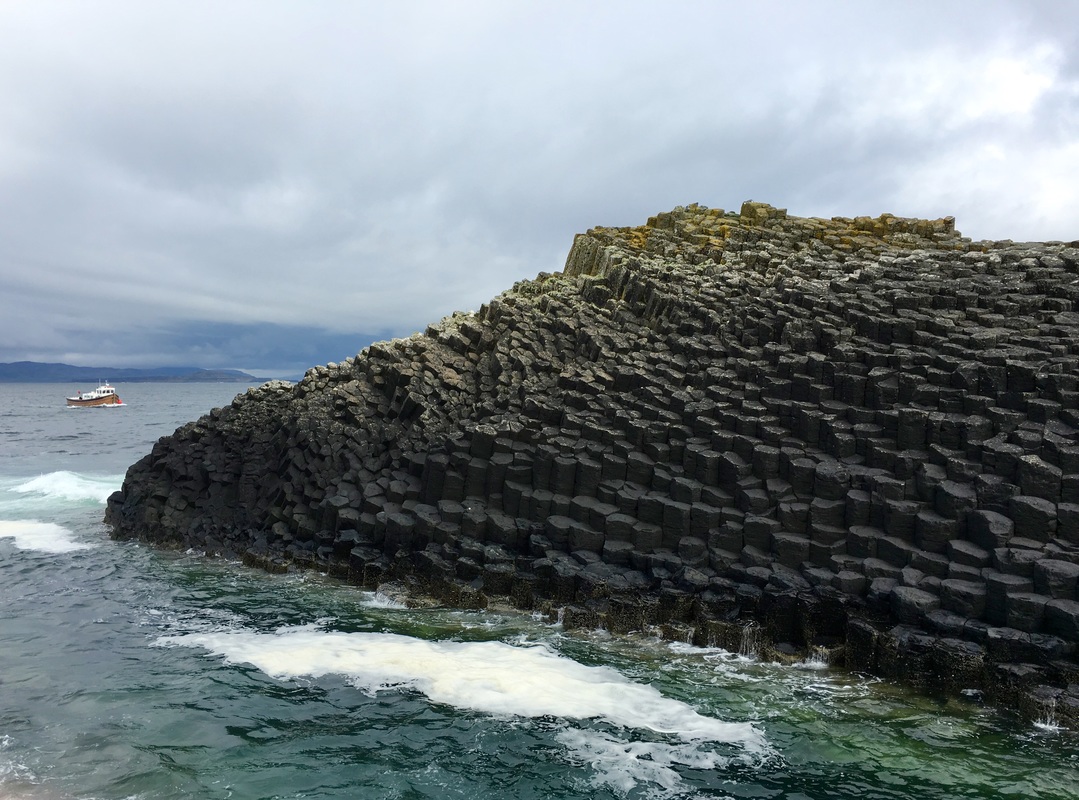
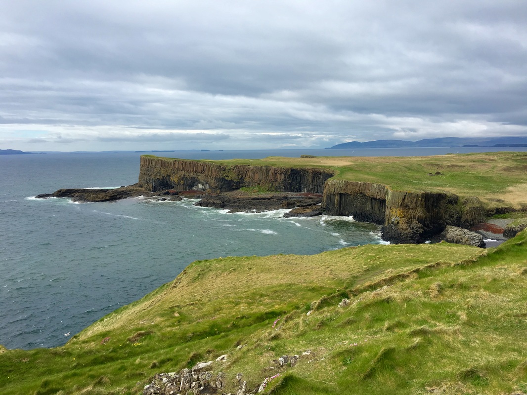
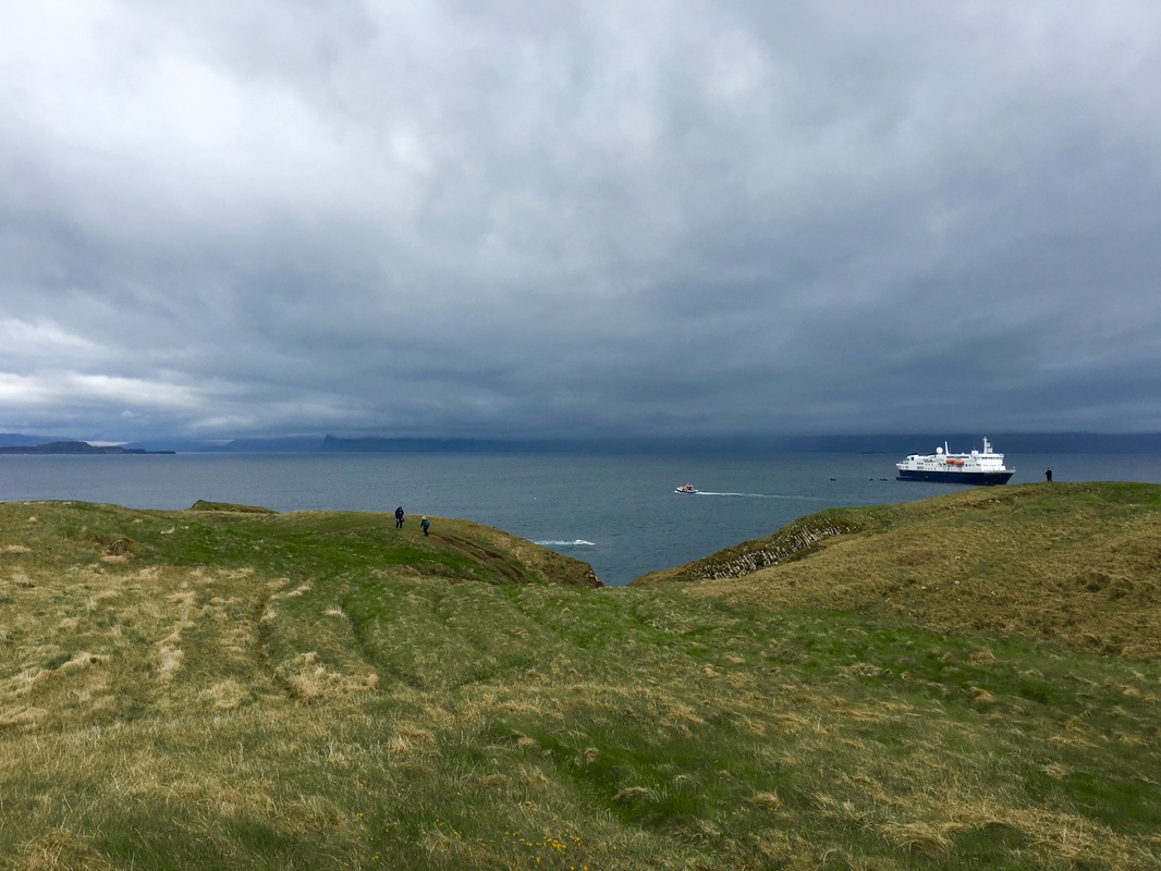
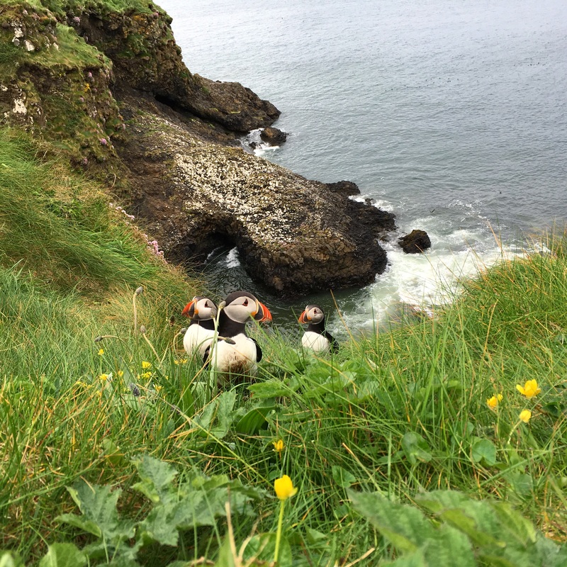
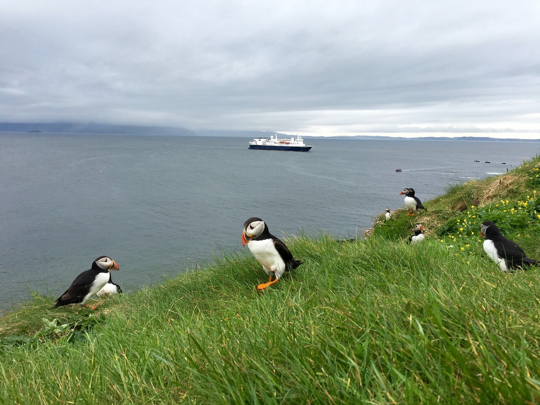
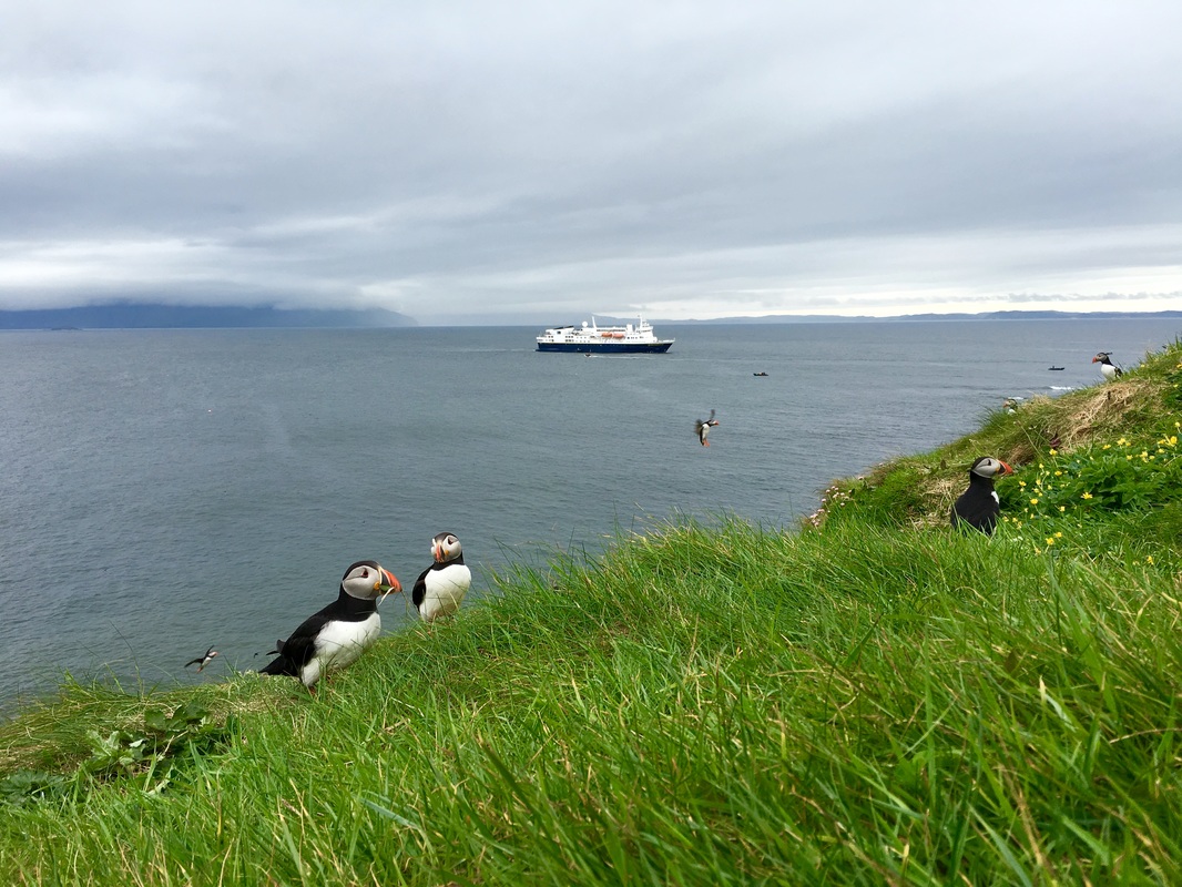
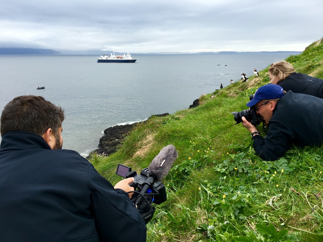
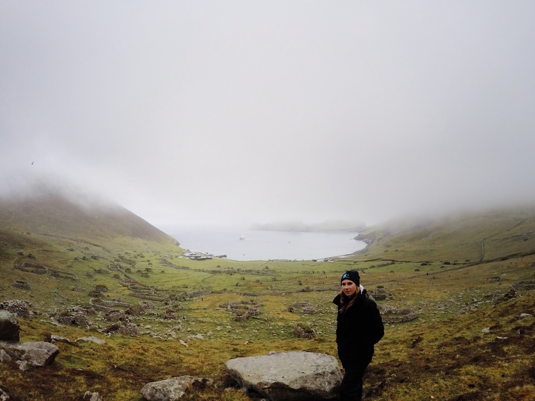
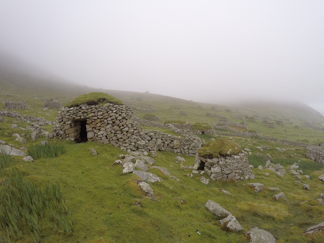
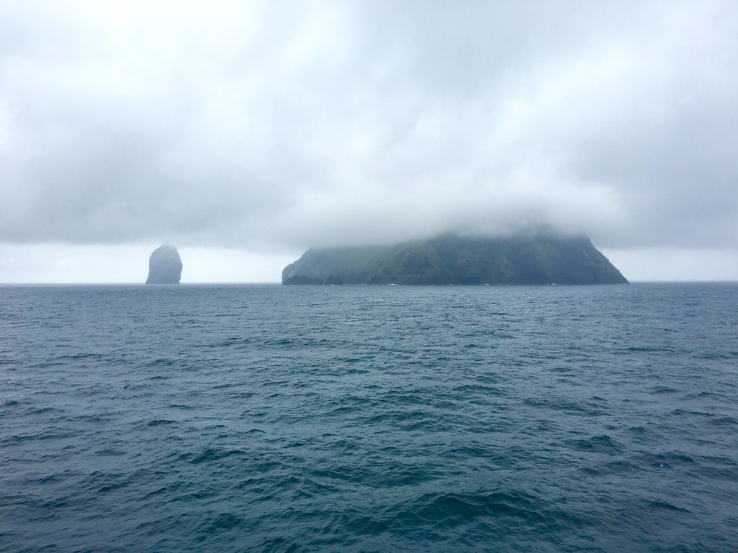
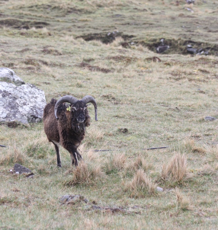
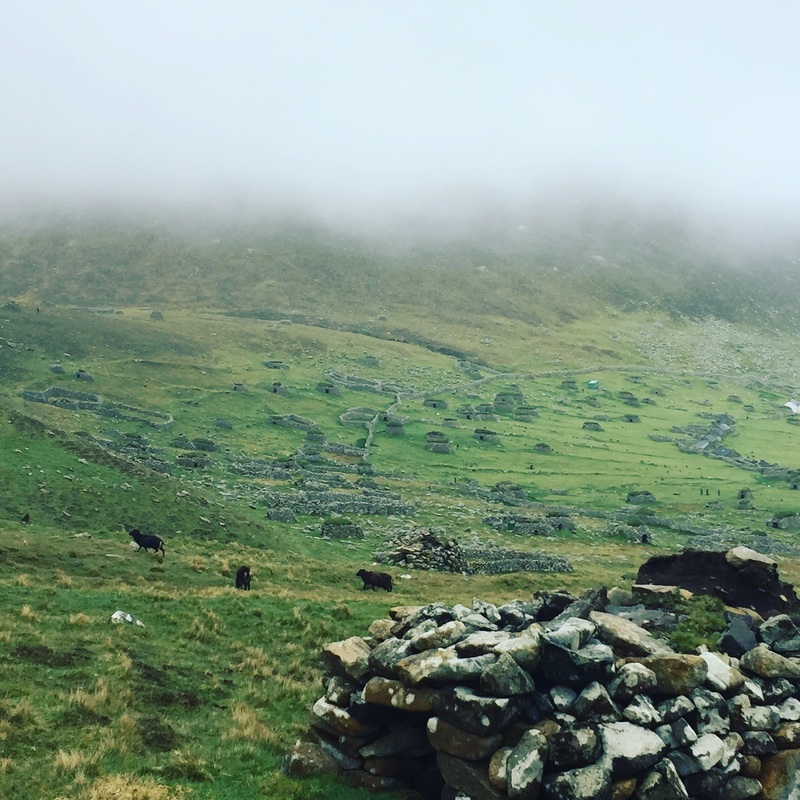
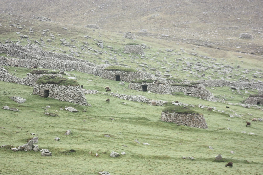
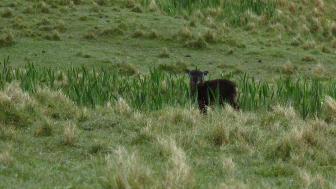
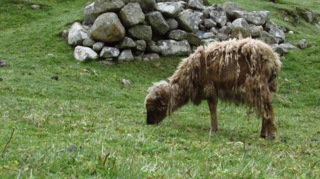
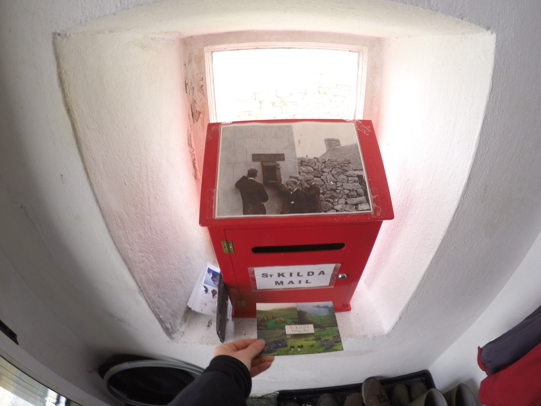
According to our historian, David Barnes, both the solar and lunar cycles would have been fundamentally important to the first people of these lands as they transitioned from being nomads, to agrarian settlers who relied on harvests for food. David reminded us that Neolithic peoples may not have had our technology, but they did share our intellect and sites likes the Calanais Standing Stones as well as the settlements we'll see at Skara Brae and Jarlshoff will prove this as well. We visited the Calanais Stones on what turned out to be one of the only rainy afternoons of the entire expedition. We didn't mind though because it wouldn't be an authentic Scottish experience if the rain wasn't blowing sideways! We waited patiently for the other guests to take photos of the site and make their way back to the bus. Despite the hard rain, we were the last ones to leave the stones as we wanted photos of them without crowds of people among them. Our patience paid off. The best days are often the ones you least expect and this was true for me of the Scottish Hebrides. I was very much looking forward to these days because of my heritage and history, but I had no idea that I would be so moved by my time here. On our zodiac ride in to Iona, a dolphin nearly leapt into our boat and then continued to play with us as Erin circled back around before heading to shore. We laughed with delight at this playful dolphin, not realizing that it was sign of more wildlife encounters to come. Iona was once a center for Gaelic monasticism, but now it is known for its tranquility and natural beauty. While touring the island, we visited Iona Abbey which was once home to St Columba who brought Celtic Christianity to Scotland in the year 563. Columba is remembered today as a Christian saint and one of the Twelve Apostles of Ireland. Iona is also the burial place of kings including Duncan and Macbeth, unfortunately none of the graves are identifiable today; their inscriptions wore off long ago in the 17th century. In the afternoon we moved to the nearby island of Staffa, which is made up of some of the finest examples of columnar basalt in the world. The basalt has eroded away on one side of the island, creating Fingal's Cave. (Fun fact: Fingal's Cave inspired Mendelsohn's Hebrides Overture) Leah and I opted to go ashore and hike into the cave and above it on the windswept grassy hills. It was here that we encountered the most spectacular surprise of the expedition - a colony of nesting puffins! What an extraordinary experience to be so close to puffins as they gathered grasses and challenged others for the best burrow. The puffins were literally within an arm's length of me and didn't seem startled or alarmed when I stretched out on my belly to gain a closer look at their level. What I learned about puffins is that they are long-life birds that may live up to 30 years and they spend most of their life at sea. They only return to shore to mate and nest, with both sexes helping to establish the nest. Puffins form long-term bonds with partners and while the female lays the single egg, both parents take turns incubating the egg and feeding the puffling. The chicks fledge at night and the pufflings leave to spend their first few years at sea before returning to breed about five years later. Since the expedition, I have seen posts from the Scottish Seabird Centre urging the public to be mindful of wayward pufflings that may have become disoriented and lost onshore. Pufflings are attracted to lights on the mainland and can become confused and lost on their way to sea. Pufflings were turning up under cars and in gardens earlier this summer. Check out the video link from the Scottish Seasbird Centre for information on what to do if you find a puffling. 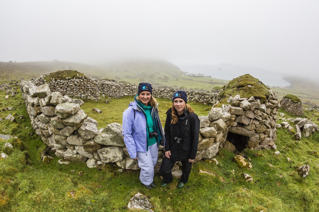 Photo courtesy of Michael Nolan. There are few places left in the world you can visit that are so enchanting and mystifying that when you leave, the experience haunts you like a recurring dream, compelling you to learn more and to discover the secrets beneath. St. Kilda in the Outer Hebrides was that place for me. Prior to this expedition, I had never heard of St. Kilda and in the days leading up to our visit, there was a general sense among guests and staff that this was a special place, perhaps even a magical place. As the Explorer approached the island of Hirta, I could barely discern the outline of its jagged cliffs looming in the low mist. The dreary weather and stormy swells added to the atmosphere of loneliness and isolation. St. Kilda is a place many wish to visit but few will ever see because ocean swells often reach 16ft. or more here, making landings difficult any time of year. Knowing how treacherous the journey to St. Kilda can be made me appreciate the magnitude of our visit and the extraordinary opportunities the National Geographic Explorer can provide. St. Kilda is an archipelago located 41 miles from the nearest land and almost 100 miles from the Scottish mainland. Hirta is the largest of the islands and is home to the highest sea cliffs in the United Kingdom, which rise 1,401 ft. and fall sheer into the sea. These rugged cliffs are breeding grounds for some of Britain’s largest colonies of northern gannets, Atlantic puffins, and northern fulmars. Besides the seabirds and the flocks of Soay sheep, the isolation, and climate of the archipelago mean that there is little biodiversity here. The first human inhabitants most likely landed on the islands by accident on their way to what is now Iceland during the Bronze Age. The population here never exceeded 180 and by 1930 the remaining 36 residents requested evacuation. By 1930, most of the young and able-bodied had already left the island, leaving behind only the very young and very old who were no longer able to maintain their way of life alone. They had also become an unwitting spectacle for tourists who came to marvel at them as oddities and who left behind their germs and illnesses with the vulnerable St. Kildans. While exploring St. Kilda you cannot help but wonder why people would choose to live here in the 19th and 20th centuries. Was it really a choice? Or was it a matter of circumstance? Keep in mind there was no electricity or modern amenities, even at the time of evacuation. Hirta is small in area with relatively little farmland surrounded by perilous cliffs. The islanders survived on seabirds and the few crops and livestock they were able to raise. Life here was onerous at best and they were almost completely cut off from the rest of the world. Even in the late 19th century, the only way to communicate with the outside was by lighting a bonfire at the summit of the highest cliff, hoping that a passing ship might see it. Or, alternatively, by sending a message attached to a lifebuoy as an improvised message-in-a-bottle and willing the current to carry it to Scotland. There is an enigmatic energy about St. Kilda that you can feel while exploring the abandoned village and stone cottages. Hundreds of feral sheep roam around, disinterested but wary of visitors. When I looked at their distrusting eyes, I was reminded that we were the outsiders; we were the ones who were foreign and strange in this quiet place that existed long before humans inhabited the earth. Understanding this, I then remembered with regret that outsiders were to blame for the dissolution of this unique community. I wondered: if the Soay sheep could tell their story, what would they say? What could we learn about the history of these islands and what could they tell us about why people chose to live at the “edge of the world”? A visit to these remote islands reminds us of the remarkable array of stories to be found in the British Isles as well as how much is still unknown about their early history. St. Kilda is now a UNESCO World Heritage Site and under the protection of Scotland’s National Trust. I left St. Kilda with so many questions, we all did. Leah, Kristen, and I spent our time after dinner up in the library, scouring the books for clues about the St. Kildan's past. I went to bed wondering how many other places like St. Kilda are out there that I don't know about. Where are other places people were living a relatively quiet life before anyone bothered to visit or decided to attack? Why did they choose to live in isolation and what is geography's role in this? What caused their collapse? Are there still places where people live in the world with little interference from the outside? What if I told you that 5,000 years ago, women were warrior queens equal to men? Would you believe this was true of ancient Ireland? According to the laws of ancient Ireland, women had equality with men. Women had the power to raise armies, they had the right hold their own property, they could participate in court, and they could choose their own marriage partner.
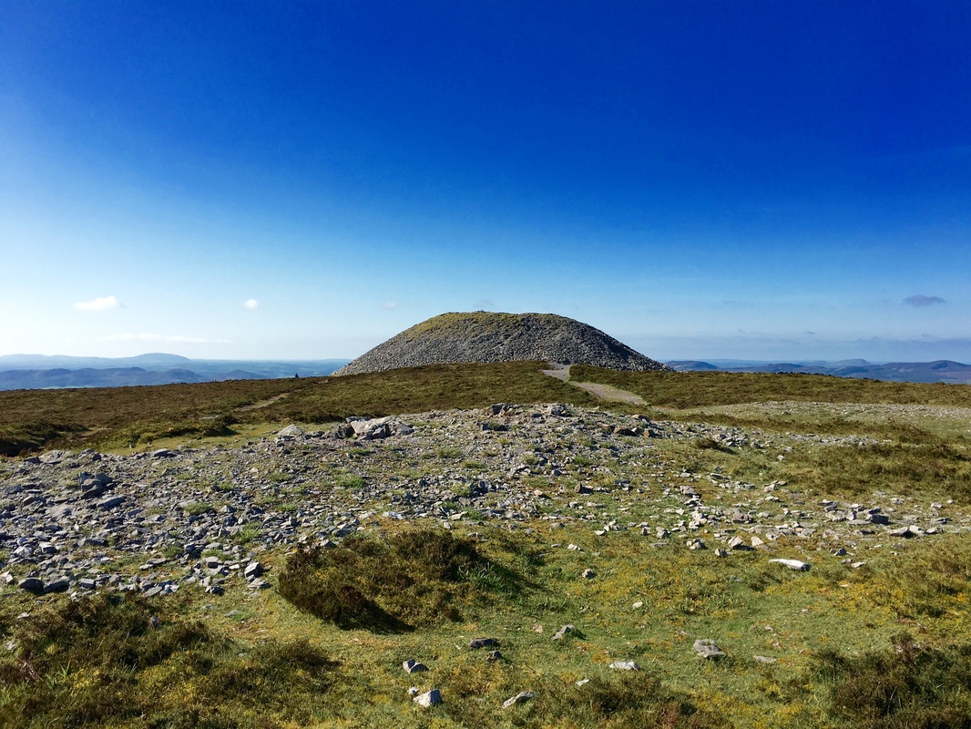
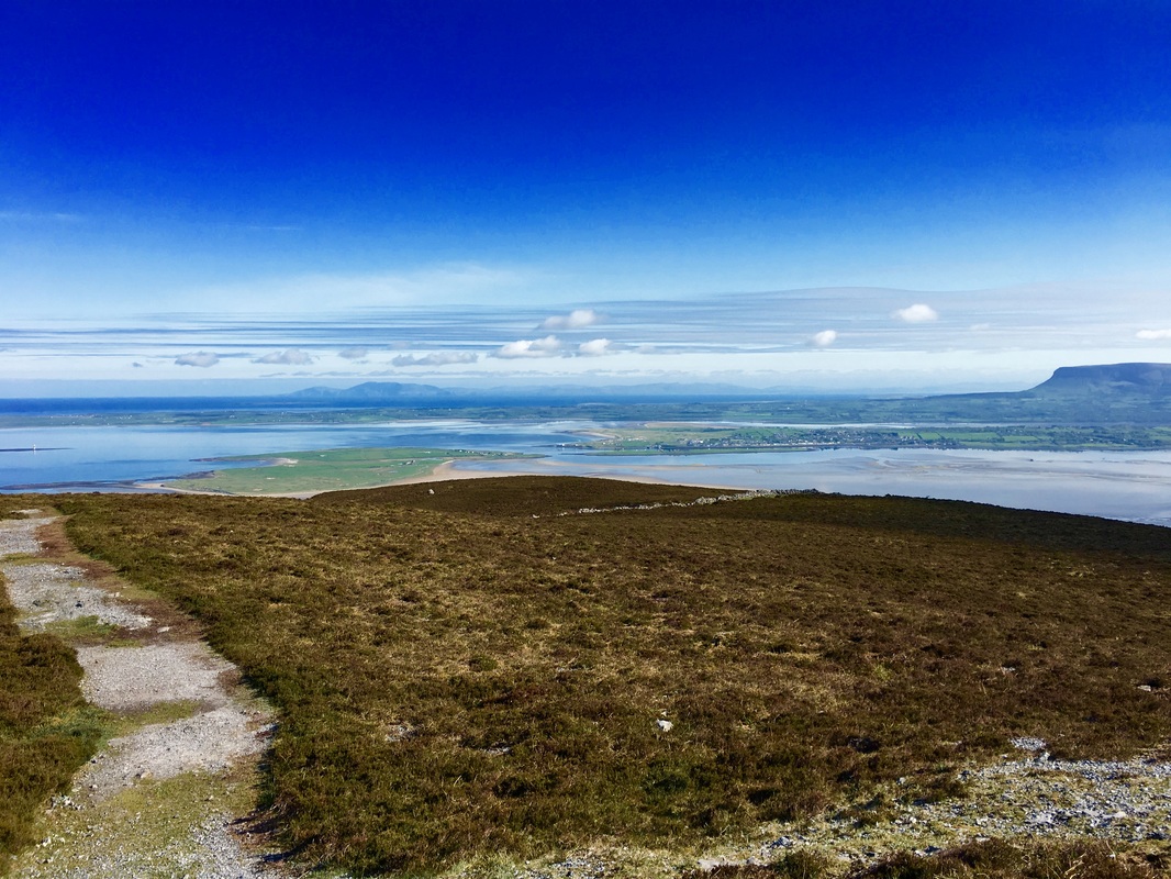
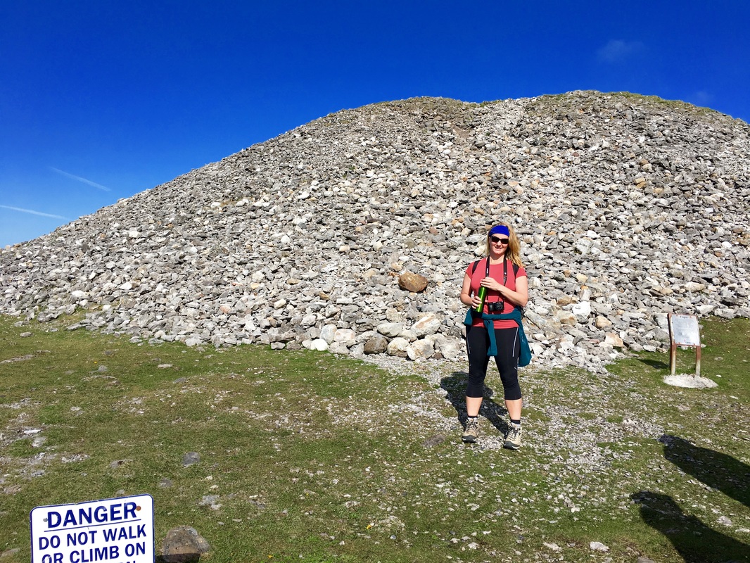
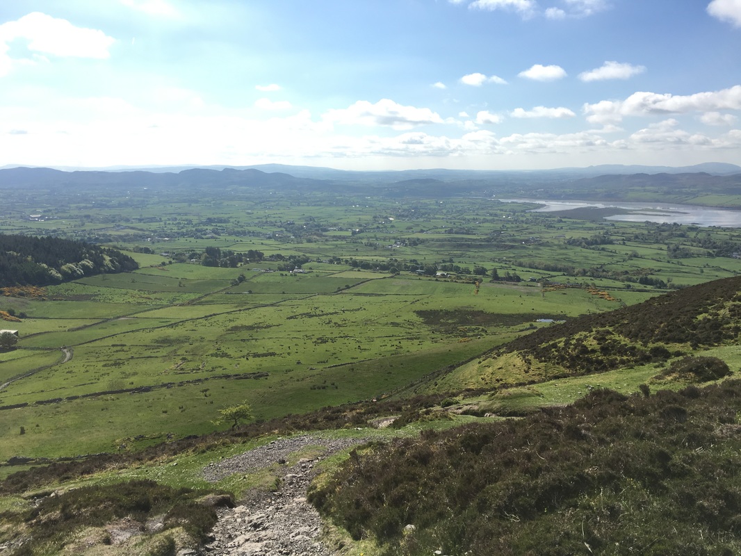
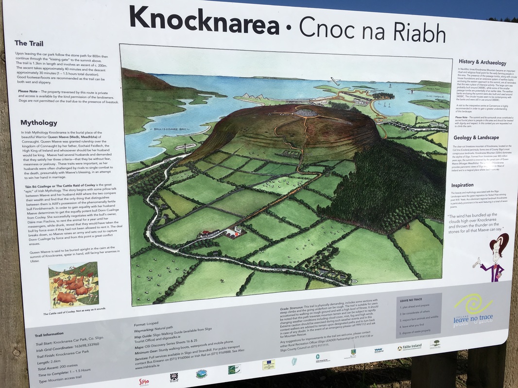
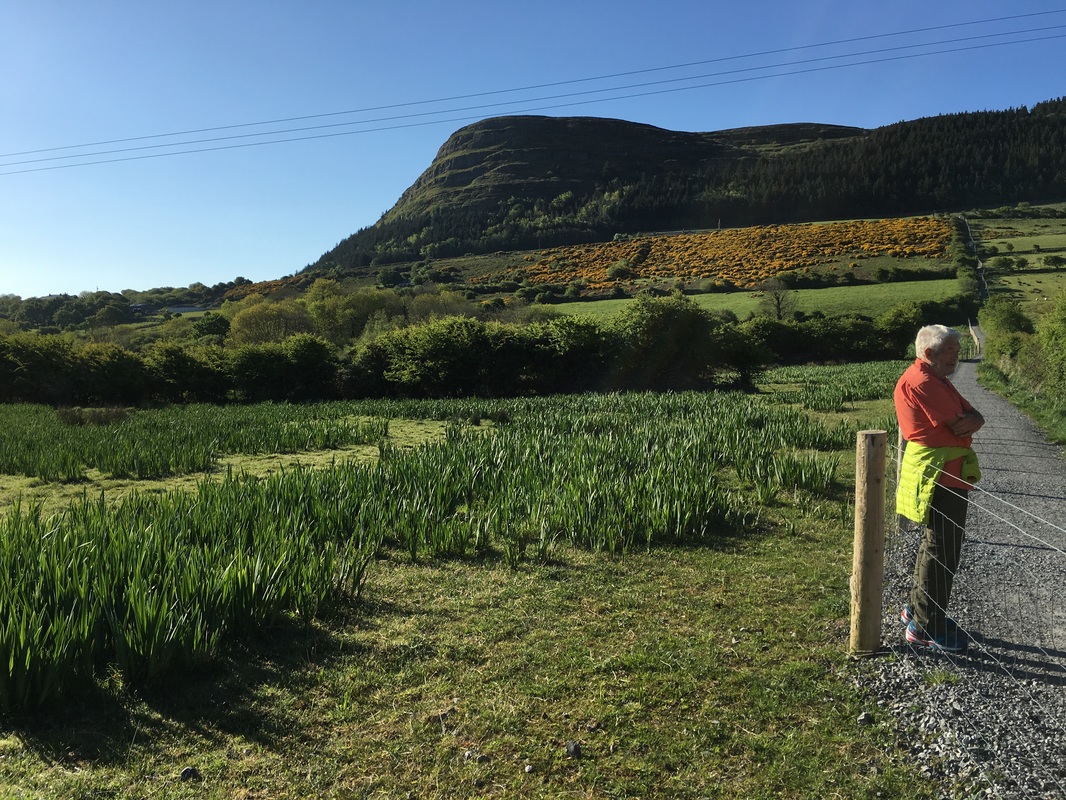
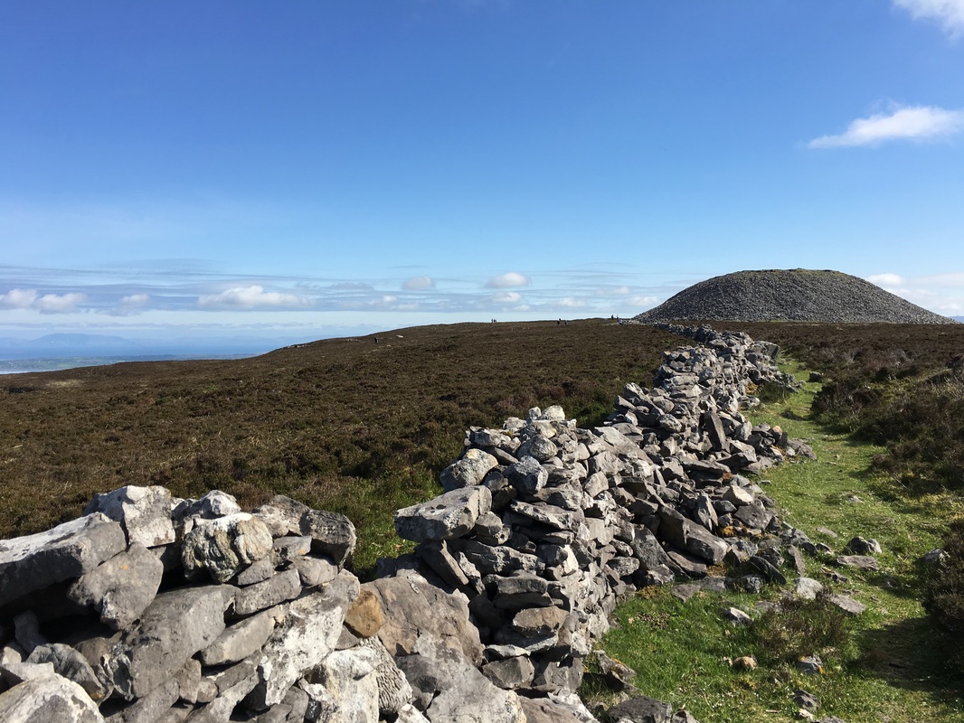
Queen Maeve was a fierce woman of her time. Her father was king of Connacht before he became king of Ireland and Maeve ruled the wild and rugged Connacht after him. During this time, she had five husbands and ruled for over 60 years. Maeve required a husband who was without greed, without jealousy, and without fear. Maeve was characterized as a competitive woman who was used to getting what she wanted, so when she and one of her husbands began arguing about which of them was wealthier, they began comparing all their riches - coins, jewels, animals, slaves, property, etc. The difference between them came down to one bull; the king had a bull that Maeve could not match, so she sent scouts all over Ireland to find a bull better than the king's. A bull was found in Ulster, but this bull was not for sale. Maeve went to war for this bull and brought it back to Connacht where it fought with the king's bull and killed it before finding its way back to Ulster. Maeve and the king were now equal. There is also a story about Maeve hating Conchobar, the king of Ulster, so much that she asked a druid which of her sons would kill him for her and she was told "Maine." Maeve didn't have a son named Maine so she renamed all 7 of her sons with variations of the name Maine. The prophecy was fulfilled when one of her sons did kill a Conchobar, but this Conchobar was the son of a king, not Conchobar the king of Ulster. Queen Maeve eventually met her end when she was killed by a man named Furbaide while bathing on an island in Lough Ree. Maeve had Furbaide's mother killed, so in an act of vengeance, Furbaide plotted and practiced how to kill Maeve with a single sling. According some some stories, Maeve was killed by a hard piece of a cheese, but as with so many celtic stories, the truth about Maeve's life lies somewhere between the fantastic and the factual. What is true is that at the summit of Knocknarea in Sligo, there is a large cairn over 180 ft wide and almost 40 ft high. This cairn is thought to be Maeve's passage tomb with the fierce queen buried upright and facing her Ulster enemies in the valley below. Also at the summit of Knocknarea are a number of other smaller tombs arranged in a North-South fashion. Unfortunately, these tombs have been damaged by excavations over time. Knocknarea seems to have been a place of ritual and meeting in the Neolithic area and today locals are doing their best to educate the public and to preserve its fragile history from visitors who make the 2 mile hike to the summit. If you do visit this ancient and sacred site, please do not climb the cairn at the summit, but instead appreciate it from a distance and spend your time reflecting and imagining what it might have looked like...5,000 years ago. Highlights of the day:
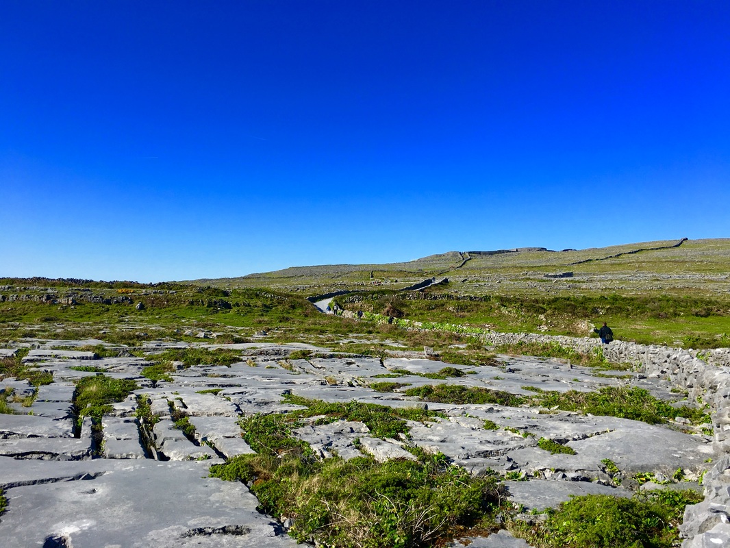
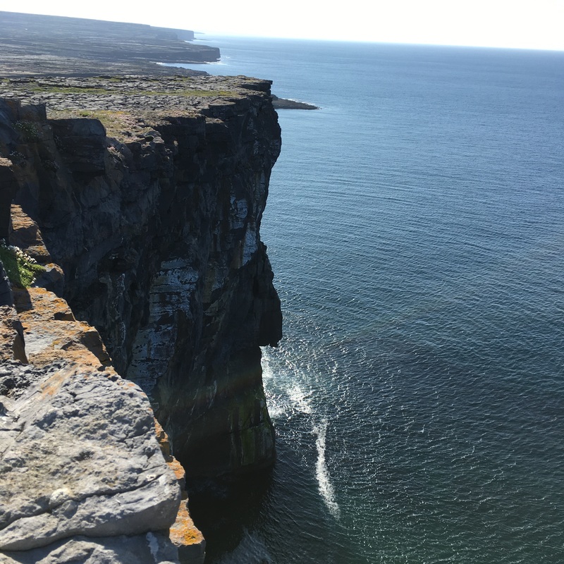
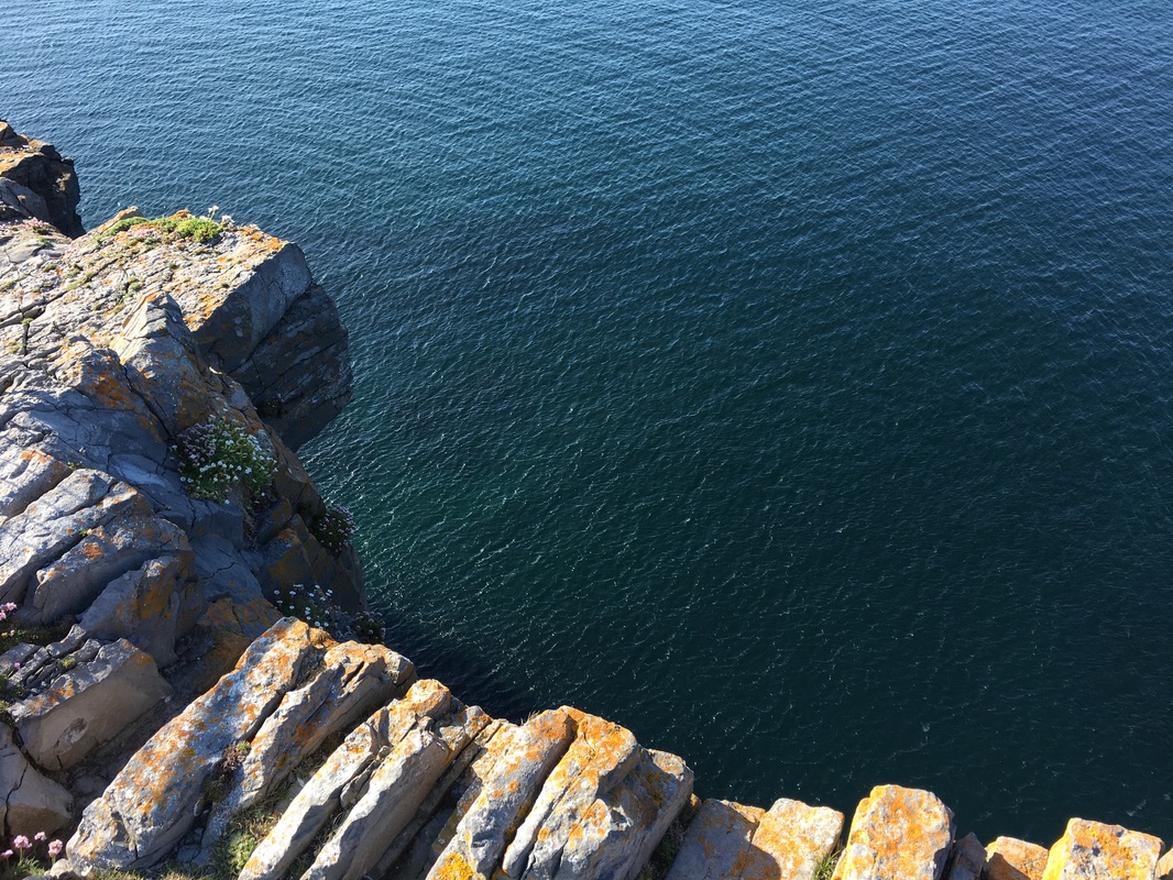
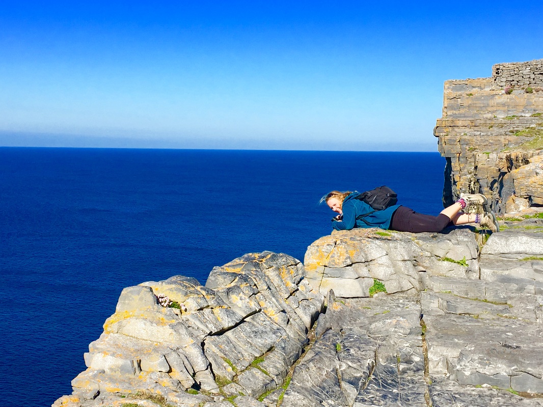
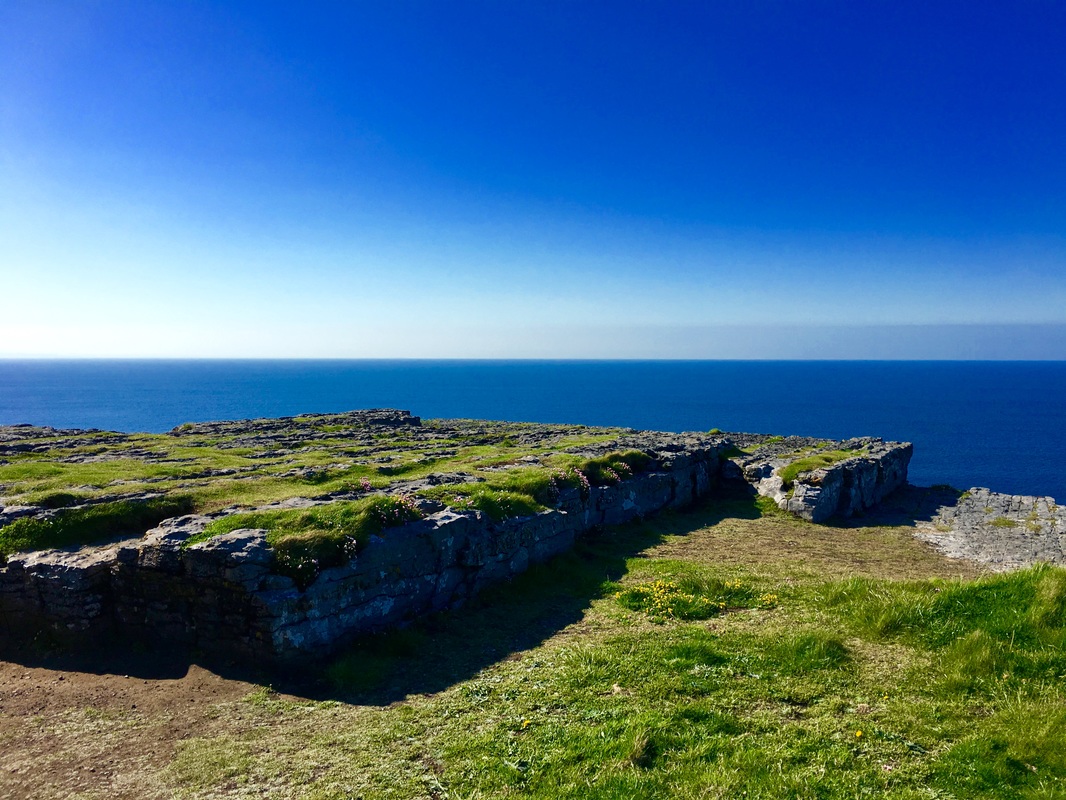
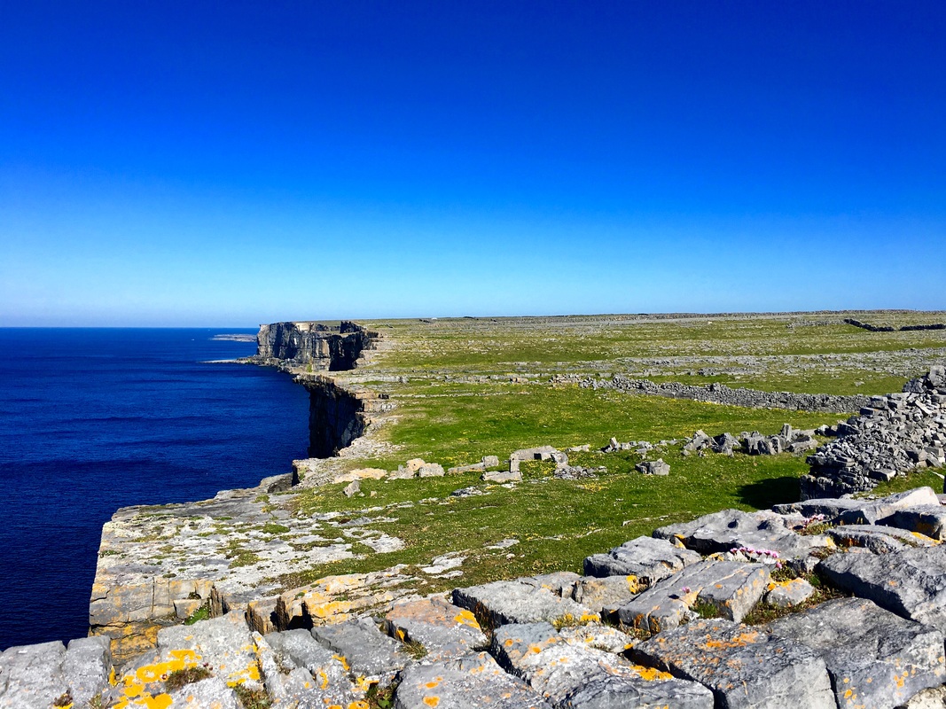
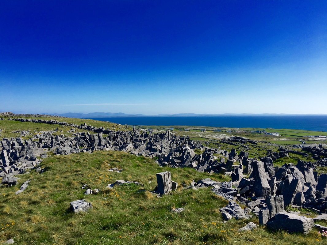
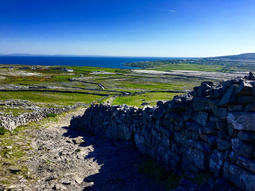
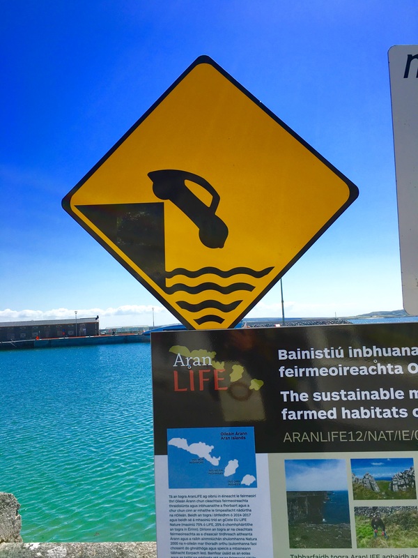
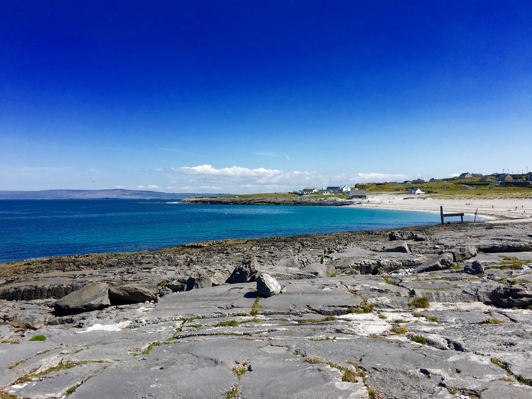
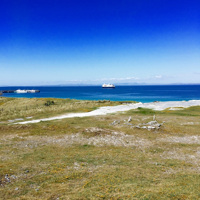
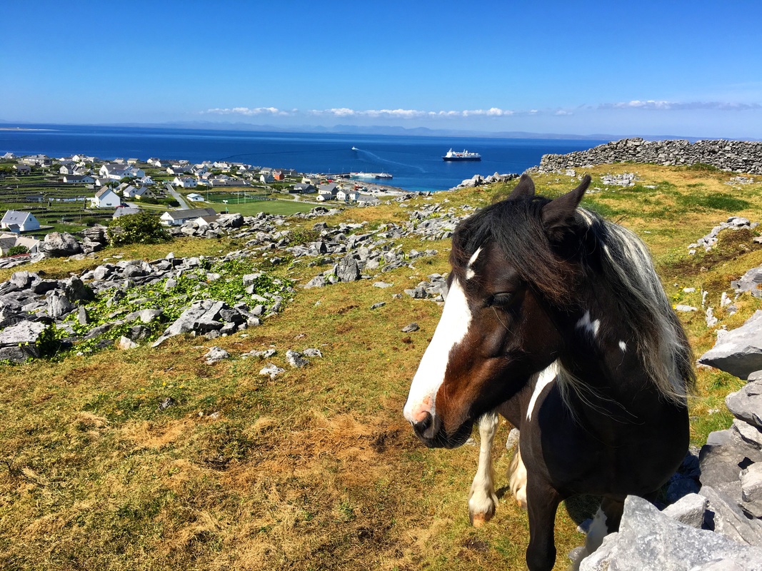
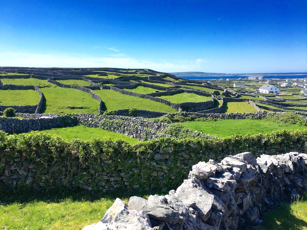
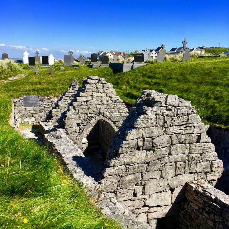
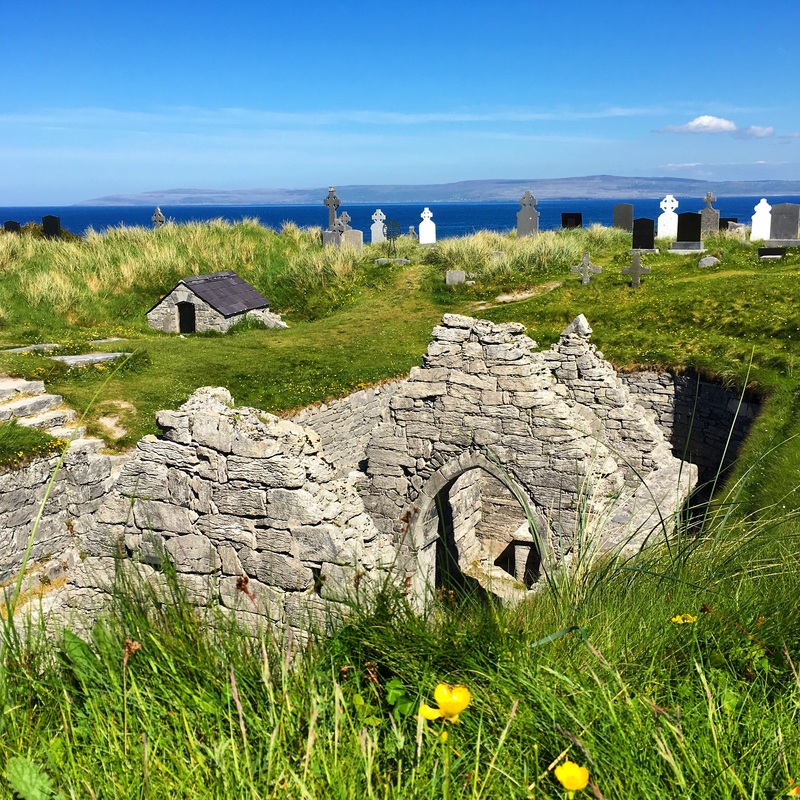
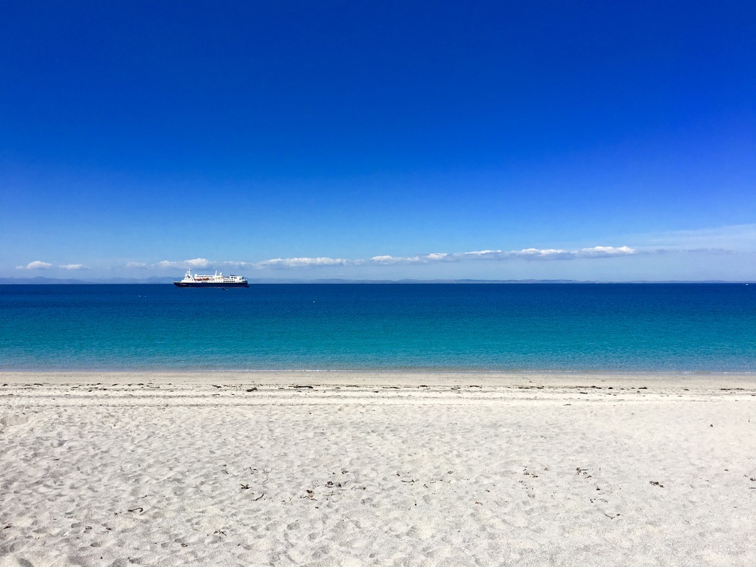
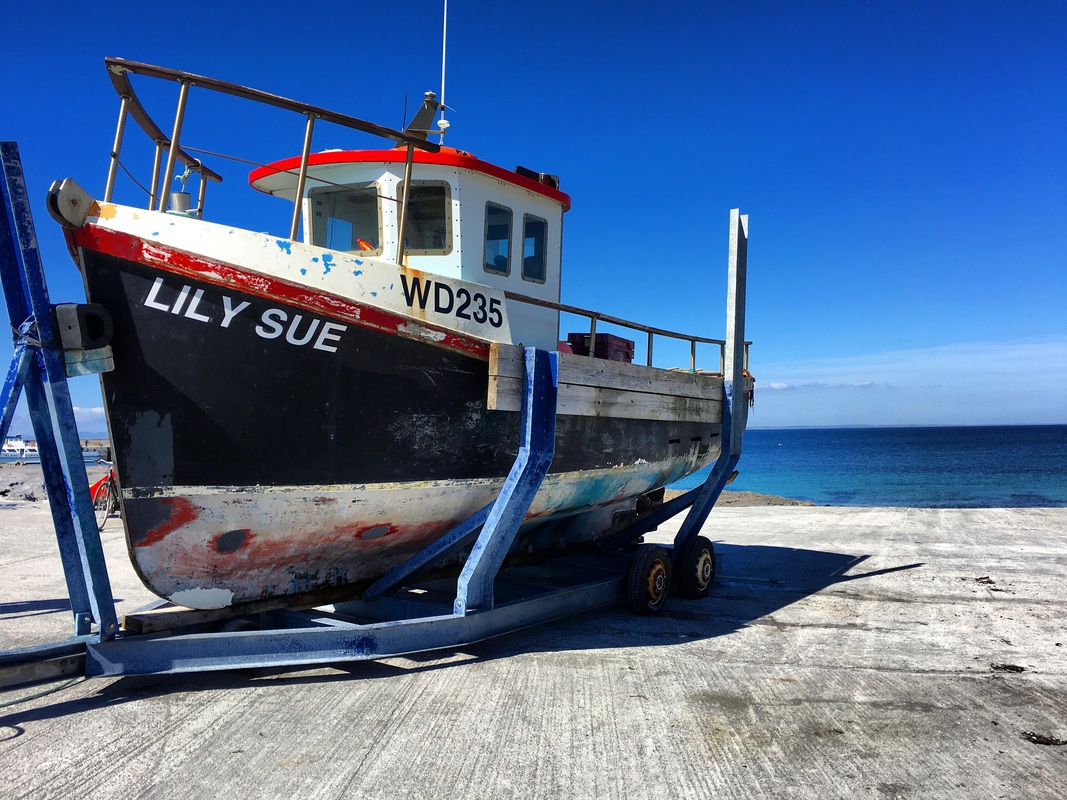
What is becoming more and more apparent to me is just how much an expedition with Lindblad allows you to see and experience. Because of the Explorer, we are able to visit remote islands that are nearly impossible for average visitors to reach, and if they are fortunate enough to catch the ferry on a good day, they may be limited to visiting just one island or site rather than them all. This morning we had a much different experience with the Cliffs of Moher than most. Any time I have seen pictures shared of the Cliffs of Moher, they're almost always from the same vantage point and are taken from above and along the edge of the stunning cliffs. At sunrise this morning, we sailed past the cliffs and saw their staggering height from the sea, while watching gannets and puffins flying to and fro beginning their busy day. Our morning outing was to Inishmore, the largest of the Aran Islands and home of the famous Aran sweaters and scarves. We opted to visit Dun Aengus, the prehistoric fort at the edge of the island's 100-meter (300 ft) cliffs and surrounded by piles of jagged stones designed to keep invaders out. This site dates back to 1100 BC and features a large stone platform at the edge of the cliff, suggesting that this was a place of ceremony and perhaps sacrifice. I was most surprised to find that the fort has not be altered in any way and that no fences or barricades have been erected to keep visitors like us from peering over the edge. I love and respect this about all the sites we have visited so far; the sites are preserved as close to their original character as possible, allowing you to experience them in their truest form and at your own risk. Sites like Dun Aengus would never be open like this in the United States; instead, there would be hundreds of feet of fencing with dozens of caution signs and staffing, forcing you to experience it from what legal teams have determined as a safe distance. It's interesting to think about the contrasting approaches to preservation and conservation. Why are we so different? In the afternoon, we sailed to Inisheer (Inis Oirr), the smallest and most easterly of the three Aran Islands, which is covered by miles of stone walls. The bluebird skies and turquoise water in the bay made for a lovely afternoon excursion. We hiked to the castle at top of the island and around to the sunken church before stopping to visit with some of the local artisans selling their wares. We learned that in order to live here, most islanders have multiple jobs and sources of income in order to sustain themselves with most of them relying on tourism as their second source of income. We see this back at home as well. In the Adirondacks here in NY, most residents hold two or three different jobs to make ends meet, just so they can stay living in the park. Prior to the expedition, I had seen some of the Wild Atlantic Way's promotional videos and photos featuring Ireland's rugged and beautiful west coast. Now that I am here, it's truly a place to experience in your lifetime and I hope that they are able to maintain the wildness of it all without compromising its character for tourism's sake. Highlights of the day:
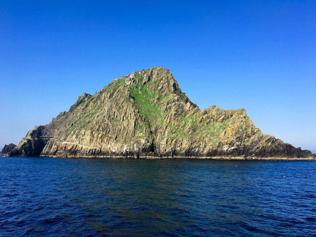
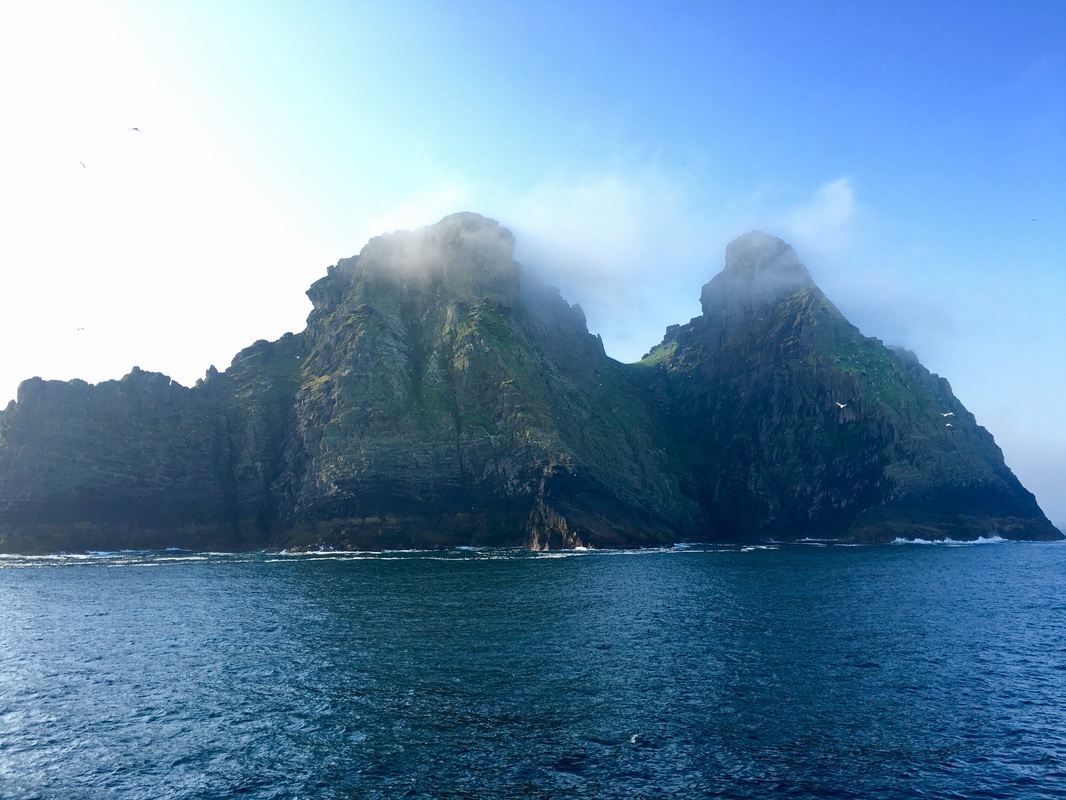
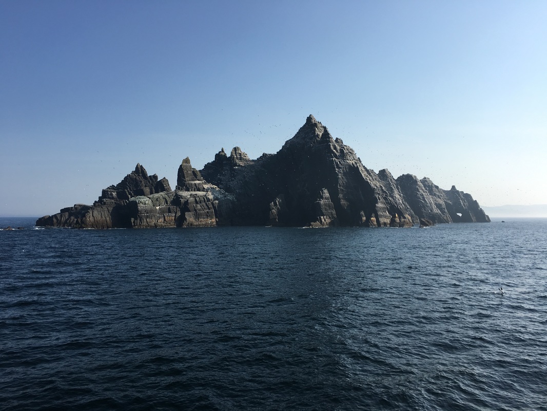
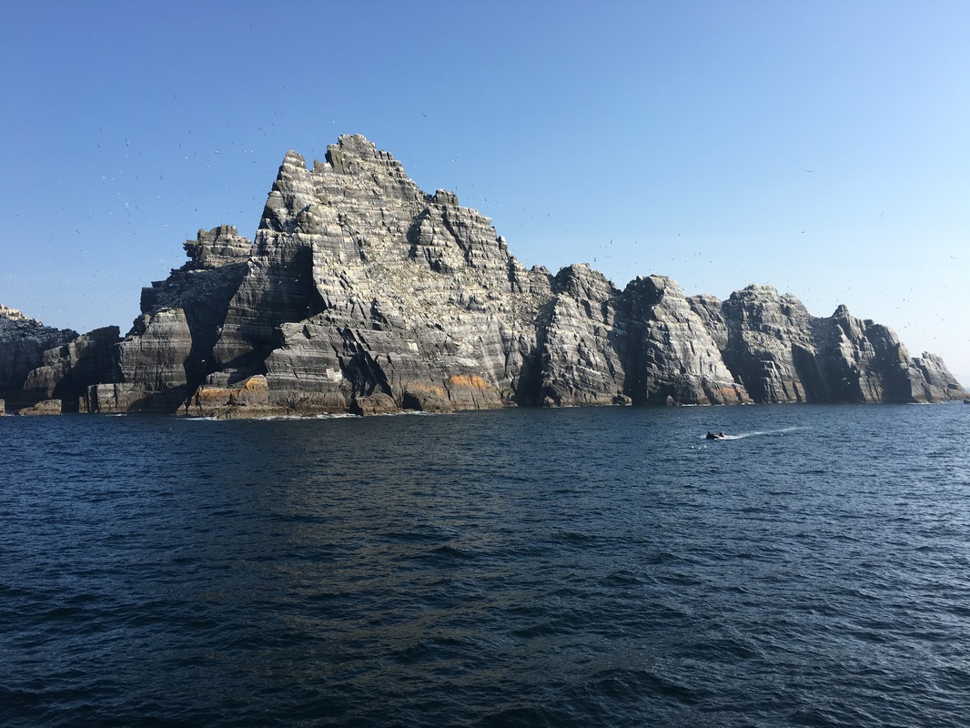
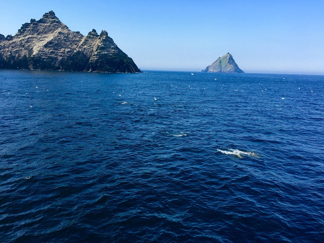
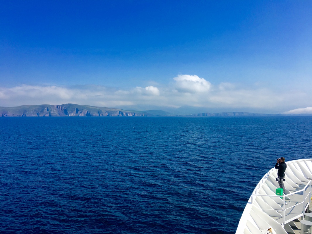
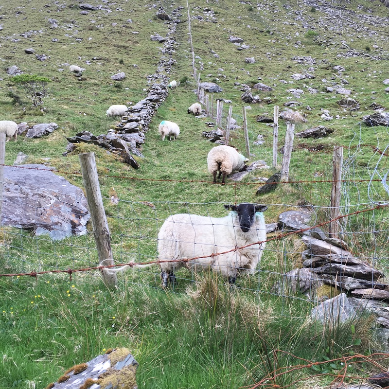
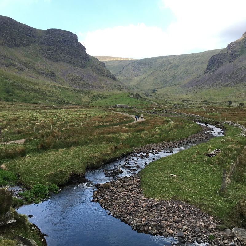
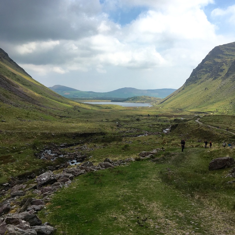
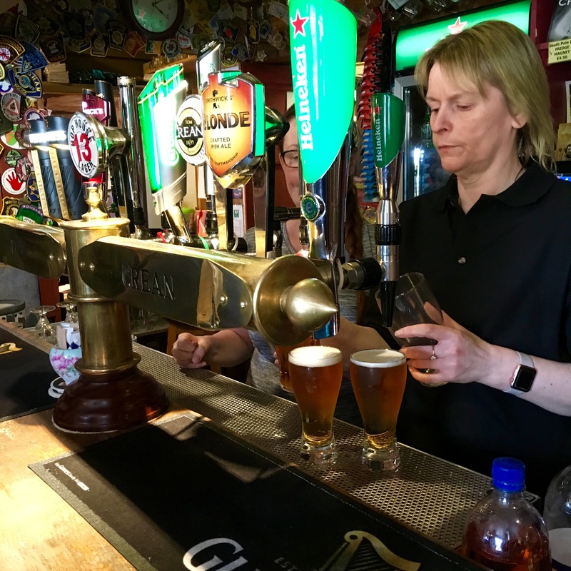
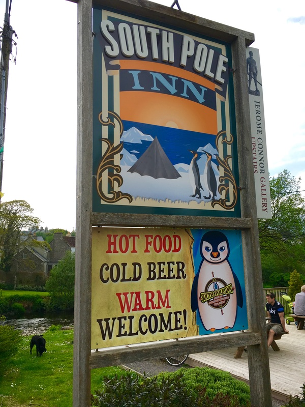
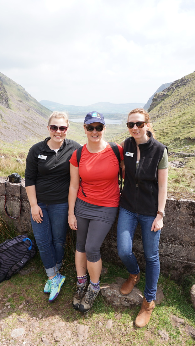
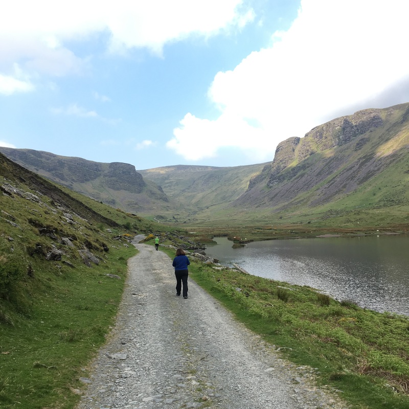
While we slept, the Explorer crossed the infamous Irish Sea and I woke up to my first full-on experience with seasickness. Following the advice of the naturalists we met in Washington, D.C., I did not use the patches and instead relied on a mild dosage of non-drowsy Dramamine to take the edge off, so when I woke up feeling clammy and nauseated, I reached for the ginger candy. Too late! I spent the morning hugging the toilet in B211 before we arrived at The Skelligs, praying that it would pass and that I wouldn't miss our first look at Ireland. Fortunately, the nausea subsided, and so did the fog, just in time to reveal stunning Skellig Michael. Prior the expedition, I knew nothing about these spectacular islands that rise sheer out of the sea. At first glance, they are other-worldly, exotic islands, more akin to something from a Hollywood film, rather than something you would expect to find in pastoral Ireland. (Fun fact: Skellig Michael is featured in the final scene of The Force Awakens) As the ship circumnavigated the greater of the two (Skellig Michael), the naturalists guided our eyes to the very top where we could just make out the cluster of bee-hive huts, garden terraces, and steep pathways, remnants of a sixth-century Celtic monastic site, occupied from 588 to 1222. Why on earth would monks choose this perilous site? Who were they trying to keep out? Both of The Skelligs are known for their seabird colonies, and together they are one of the most important seabird sites in Ireland (and the world), both for the population size and for the species diversity. Naturalists pointed out northern gannets, northern fulmars, puffins, and razorbills as we skirted the rocky outliers. Not wanting the seabirds to have all the fun, a pod of playful dolphins stole the show and reminded us that these waters are home to all sorts of other creatures including gray seals, minke whales, and even sea turtles. The dolphins swam with our ship almost all the way into the mouth of Dingle Harbor, where Fungi the dolphin welcomed us the rest of the way. It was a delightful morning and a wonderful introduction to Ireland. In terms of animal and birdlife, I couldn't have been more wrong about the species we would encounter here. I expected to be greeted by pigs, sheep, and cows, not puffins and dolphins! I am just as guilty as others of having single stories about places and people, which is all the more reason to continue to explore more. We had a chance to stretch our sea legs in the afternoon with a hike through bucolic County Kerry to Lough Annascaul. Here we found newborn lambs scaling the steep mountainsides and a cold mountain stream filling the lough below. We ended our day at the South Pole Inn, whose original proprietor was Tom Crean, the three-time Antarctic explorer and hero whose last expedition was with Earnest Shackelton on the ill-fated Endurance. If you are like me and love reading about adventure and exploration, Michael Smith's An Unsung Hero written about Tom Crean is one of the most inspiring explorer stories I have ever read and it now rivals Into the Wild as my favorite book. Tom Crean was a total badass with the heart of a lion. The book recounts tales of Crean leaping from iceberg to iceberg as killer whales tried knocking him over, as well as countless times he rescued ponies that had fallen through the ice, and then there were his beloved sled dog puppies he protected until there were no resources left. Crean deserves far more credit and attention for his contributions to Antarctic exploration and for his heroic efforts to save others in the face of certain death. And if you ever have the chance to visit Dingle, don't miss a stop at the South Pole Inn. It's filled with photographs and relics from Crean's expeditions and proudly serves up pints of Tom Crean's brewed in his memory and it was one of the most special moments of the expedition for me. I came home inspired to create an explorers project with my 11th graders so that we might recognize individuals who have made outstanding contributions to mankind and the earth through their daring adventures. Highlights of the day:
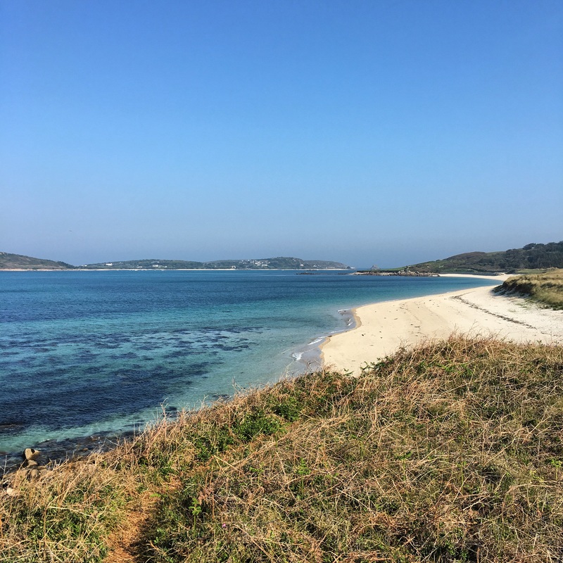
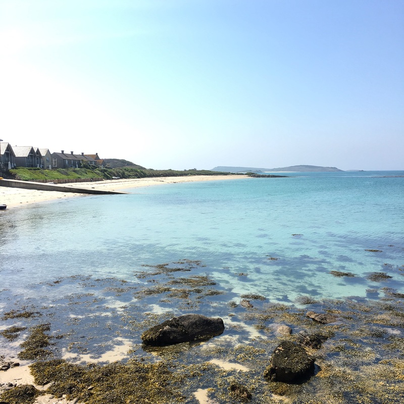
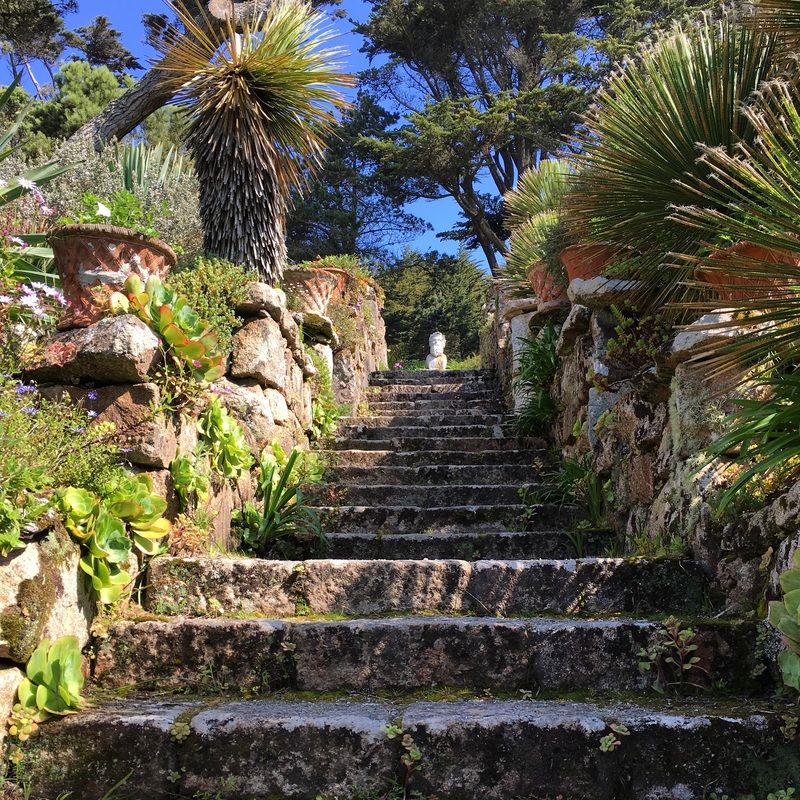
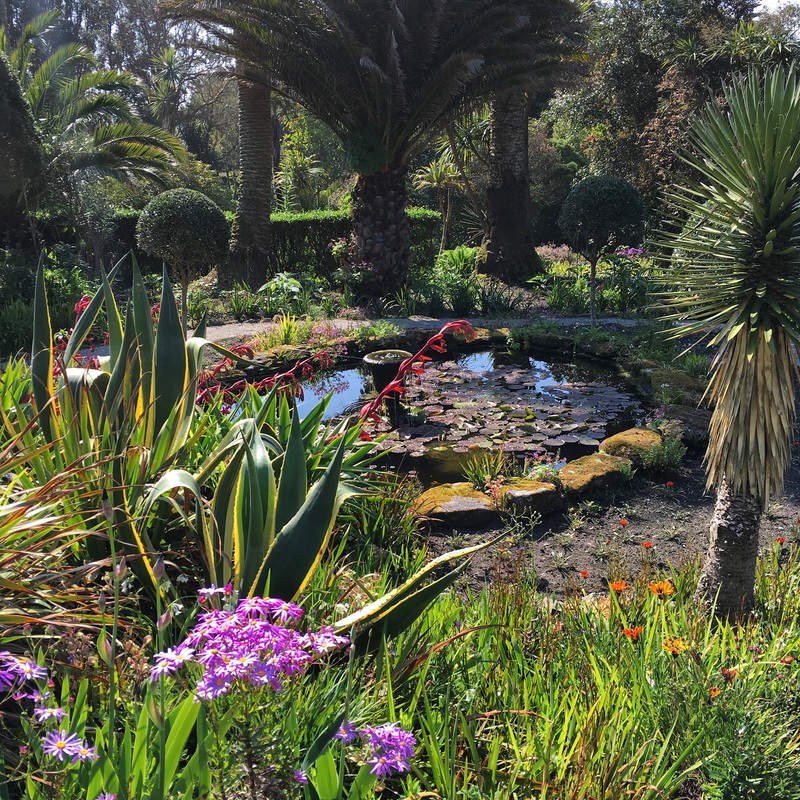
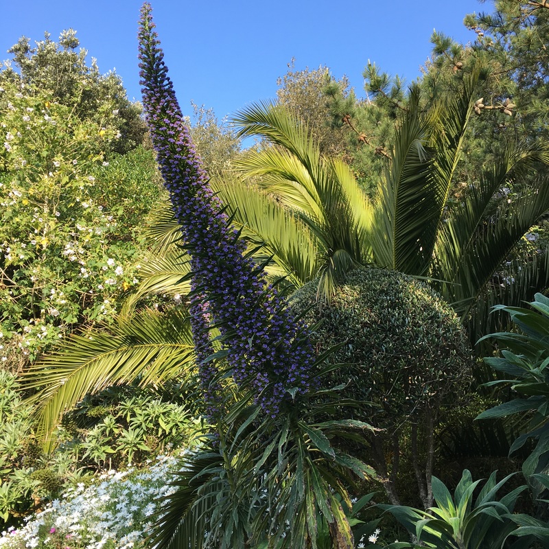
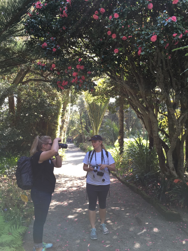
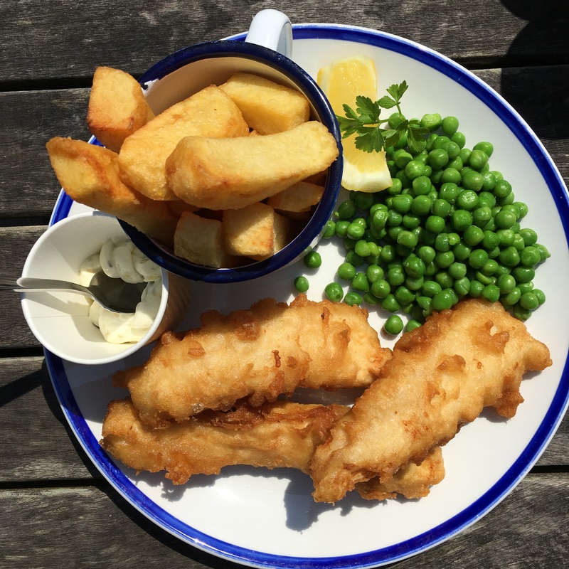
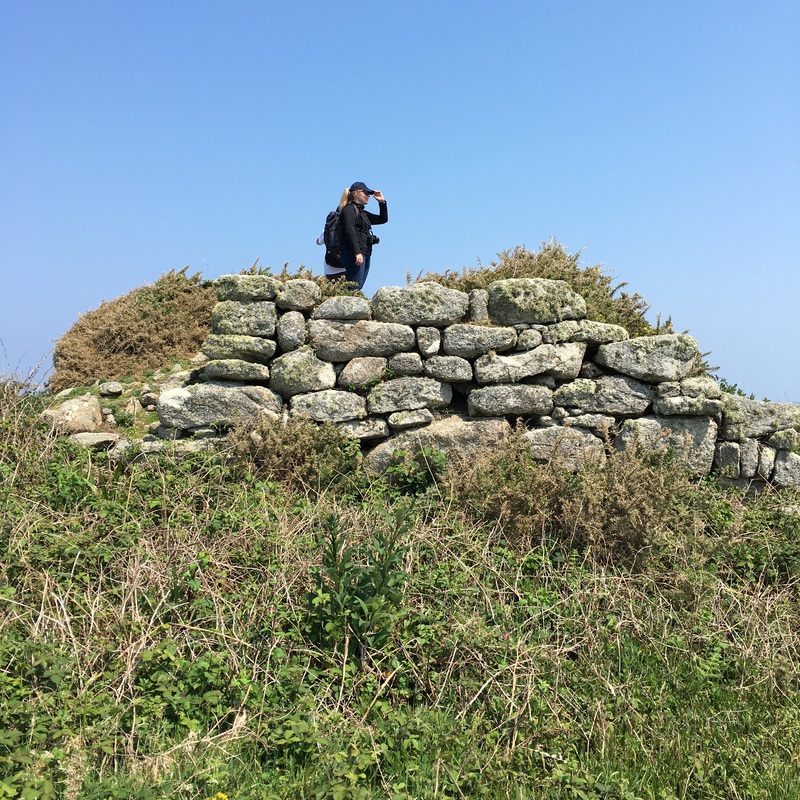
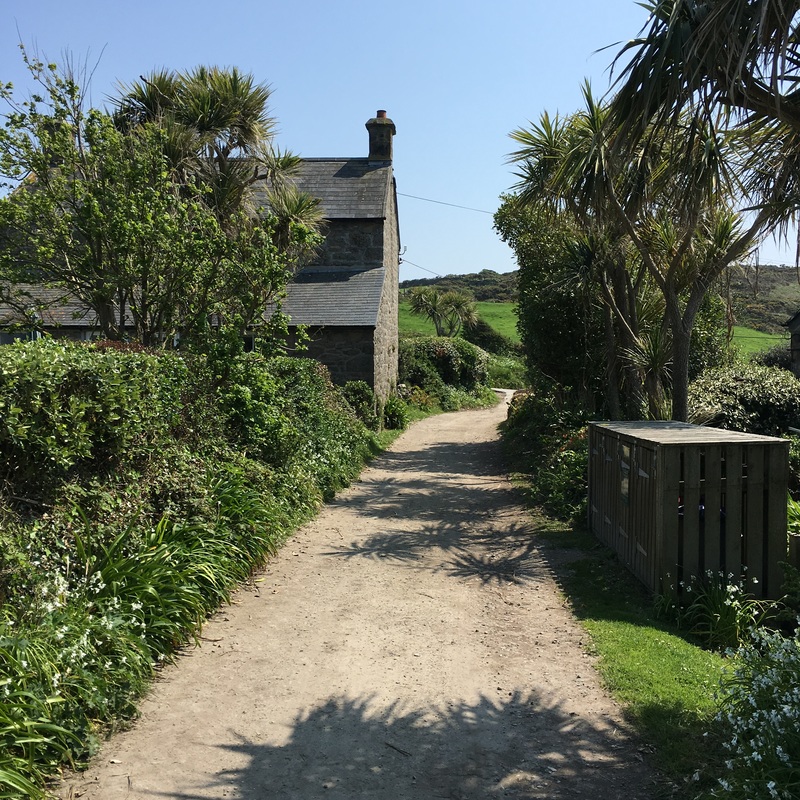
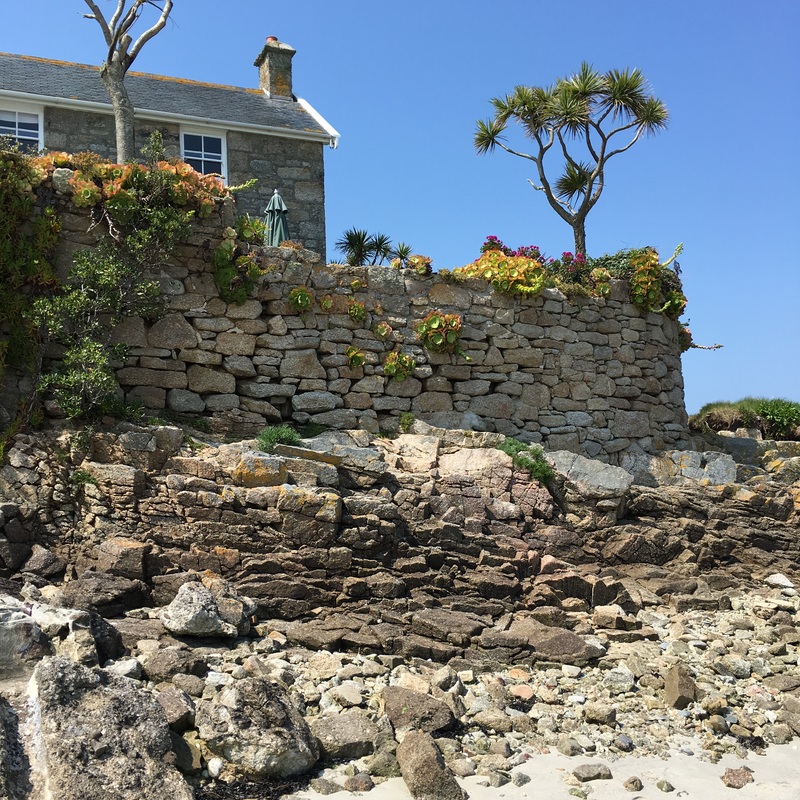
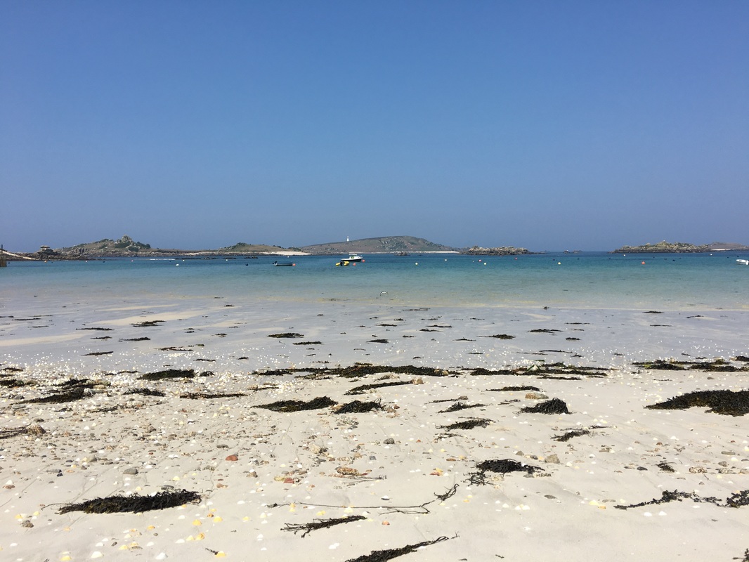
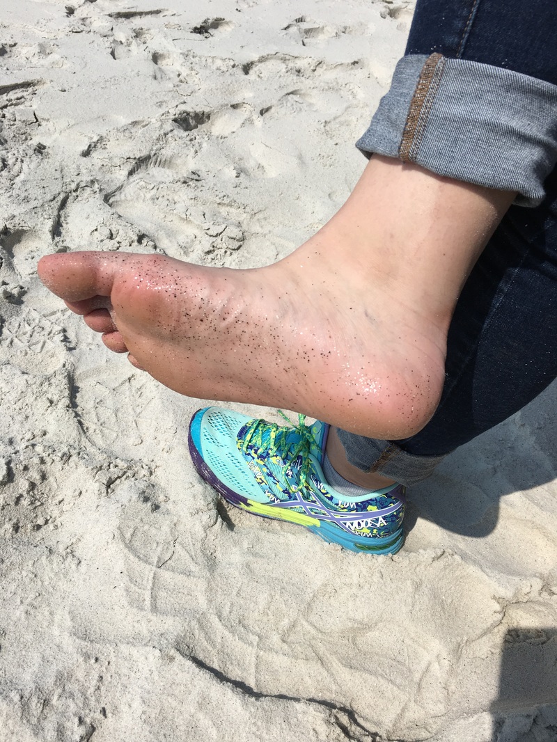
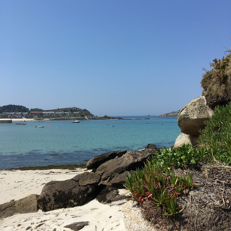
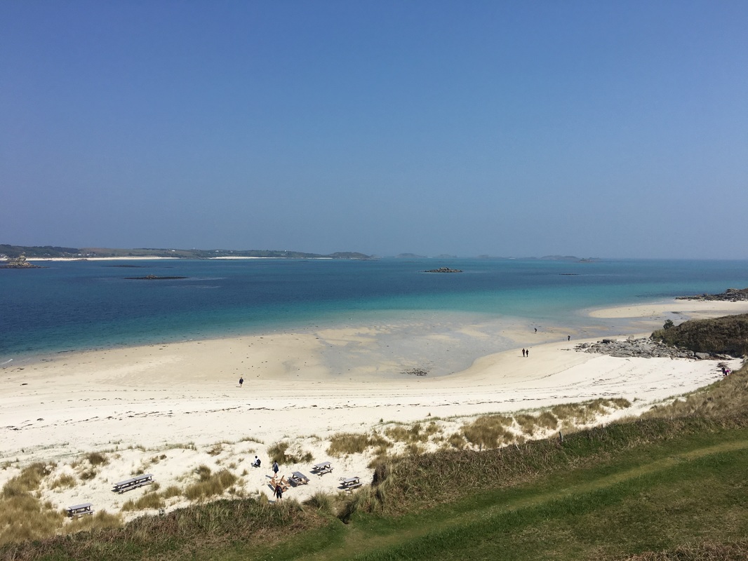
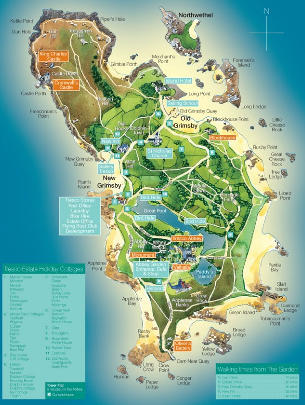
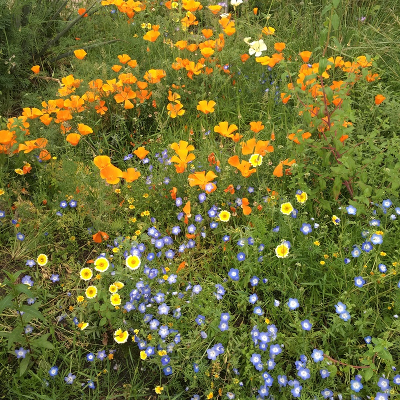
While the first two days of the expedition could be described as typically British (relentless fog and damp weather), today was anything but. I could hardly believe my eyes when the zodiac raced to shore. We were bathed in warm sunlight and landed on a white sandy beach, surrounded by a shallow turquoise sea. Tresco is paradise! The geographic location of the Scilly Isles plays an important role in creating this magnificent contrast from mainland Britain. The islands are influenced by the North Atlantic Current, which means it rarely frosts or snows here, allowing farmers and gardeners to grow plants ahead of the mainland. Our guide at Tresco Abbey Gardens proudly reported that at Christmas this year, over 200 species of flowers were in bloom! The Scilly Isles enjoy the mildest climate in all of Britain as well as the most sunlight at an average of around 7 hours a day in June. This is incredible considering that the isles lie on the same latitude as Winnipeg, Canada. This was my first lesson in understanding that latitude and longitude are not the only factors determining climate, especially in the British & Irish Isles, which are influenced most by the sea. We spent the morning at Tresco Abbey Gardens where we photographed plants and flowers from all over the world including South Africa, Madeira, New Zealand and even California. There are no cars on Tresco Island, so you can rent a bike, catch a ride on a hay wagon, or get around on foot. This only adds to the island's charm and allows you to enjoy the relaxed pace and gentle sunshine. Locals recommended The New Inn for lunch, so that's where we headed to map out the remainder of the afternoon. I couldn't resist taking a picture of the best fish n chips I've had in years. After lunch, we hiked to the far side of the island to check out Cromwell's Castle from the 16th century and a few other Bronze Age forts scattered across Tresco. We circled the island to Old Grimbsy Quay where we took off our shoes to splash around in the cool water along the sparkly beach. The sand here shimmers like glitter because it's made up of fine granite crystals. Looking out from Cromwell's Castle and then from the Blockhouse on the other side of the island, you gain a better sense of how treacherous the surrounding sea is and why this area was so dreaded by sailors long ago. The reefs and wild weather have claimed many lives and ships over the centuries, but the beauty of the island distracts from this dark history. Highlights of the day:
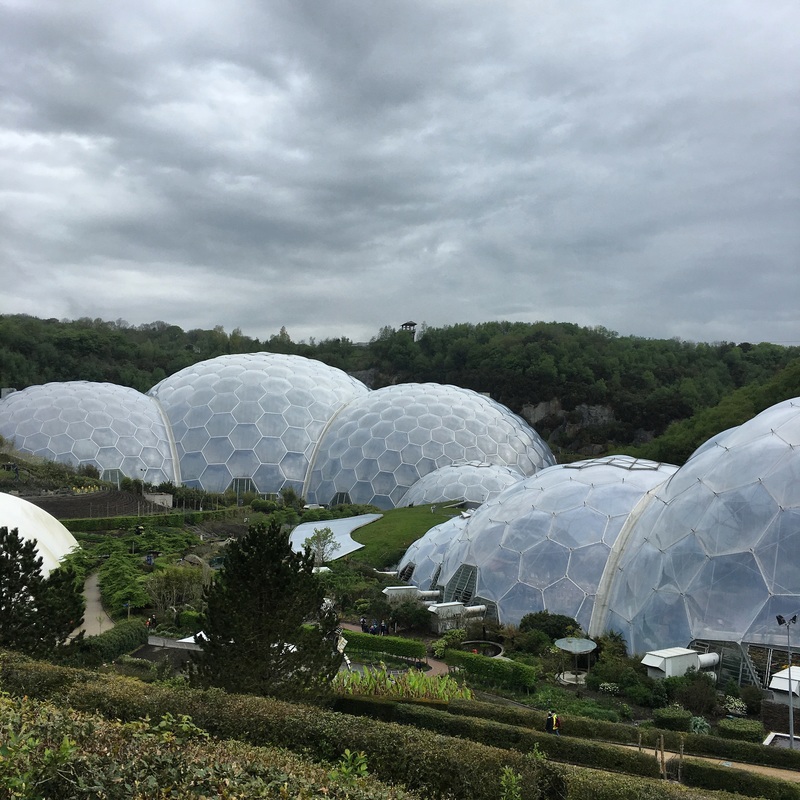
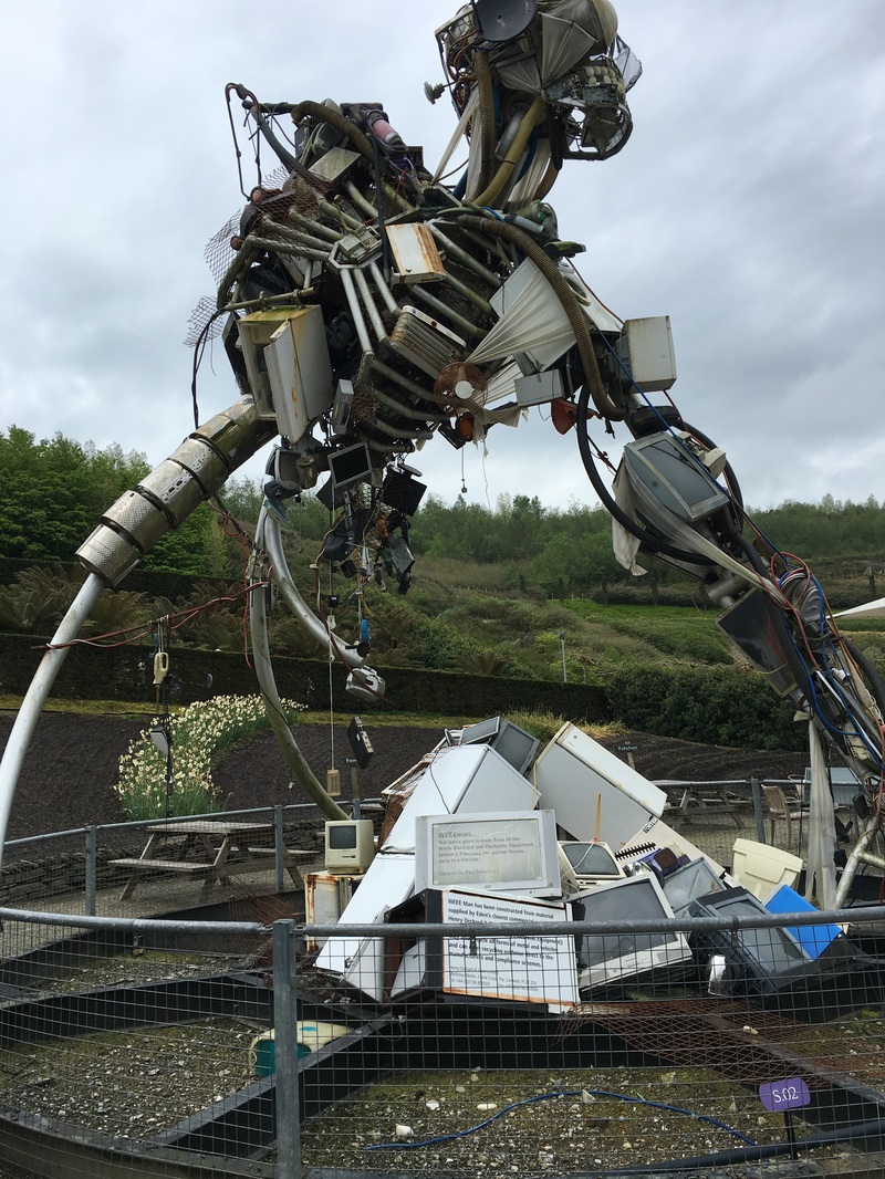
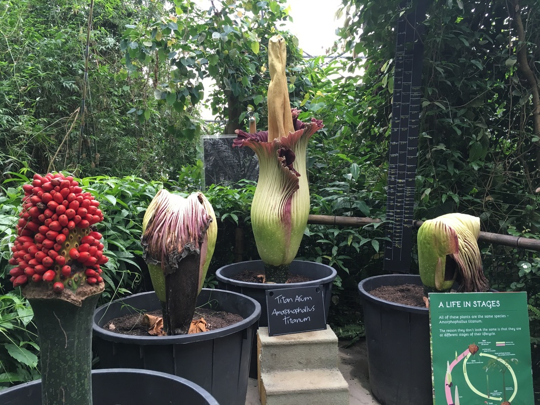
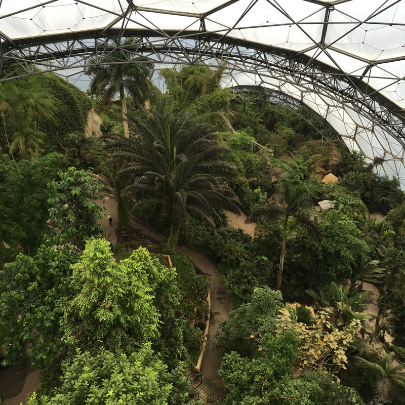
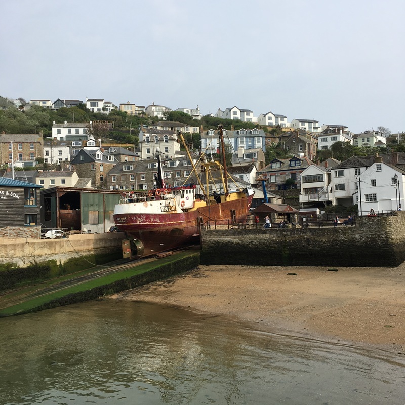
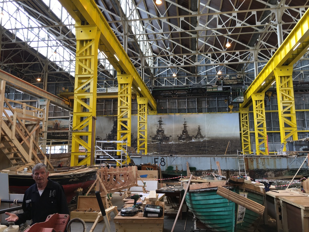
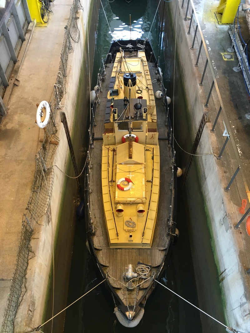
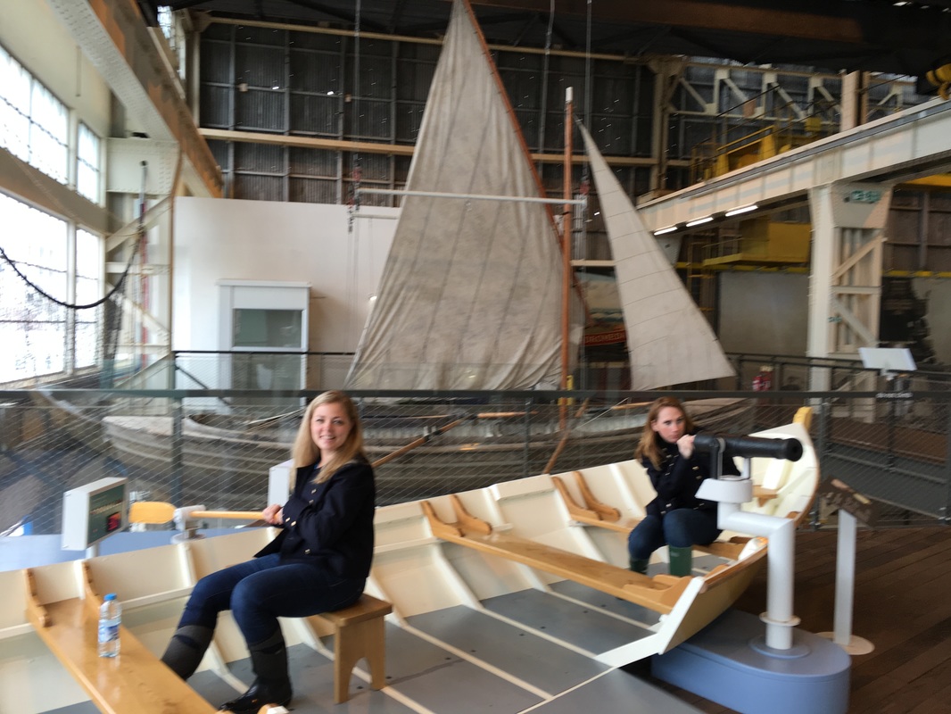
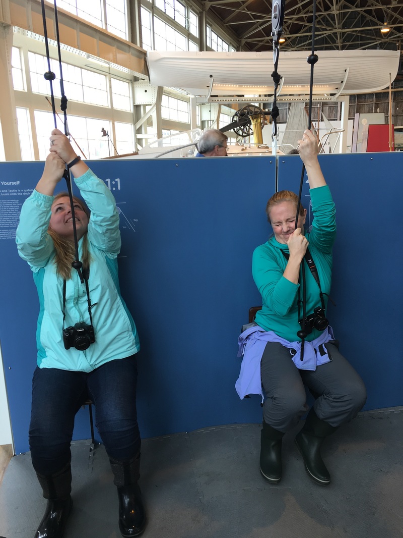
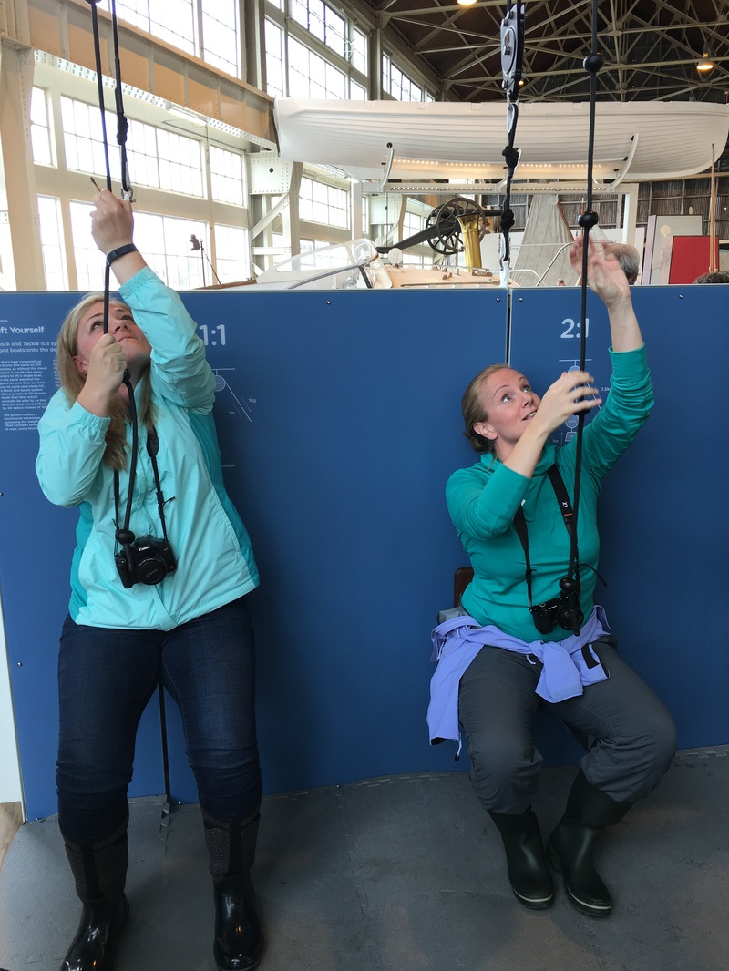
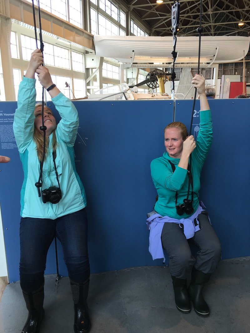
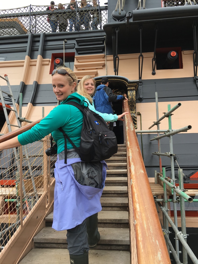
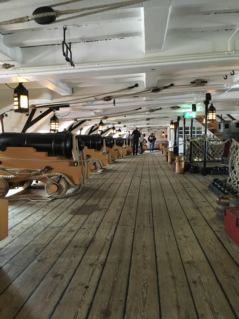
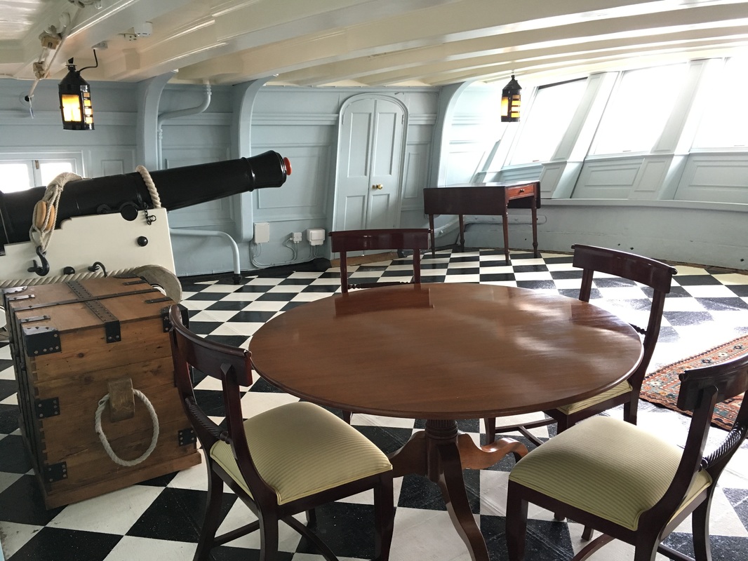
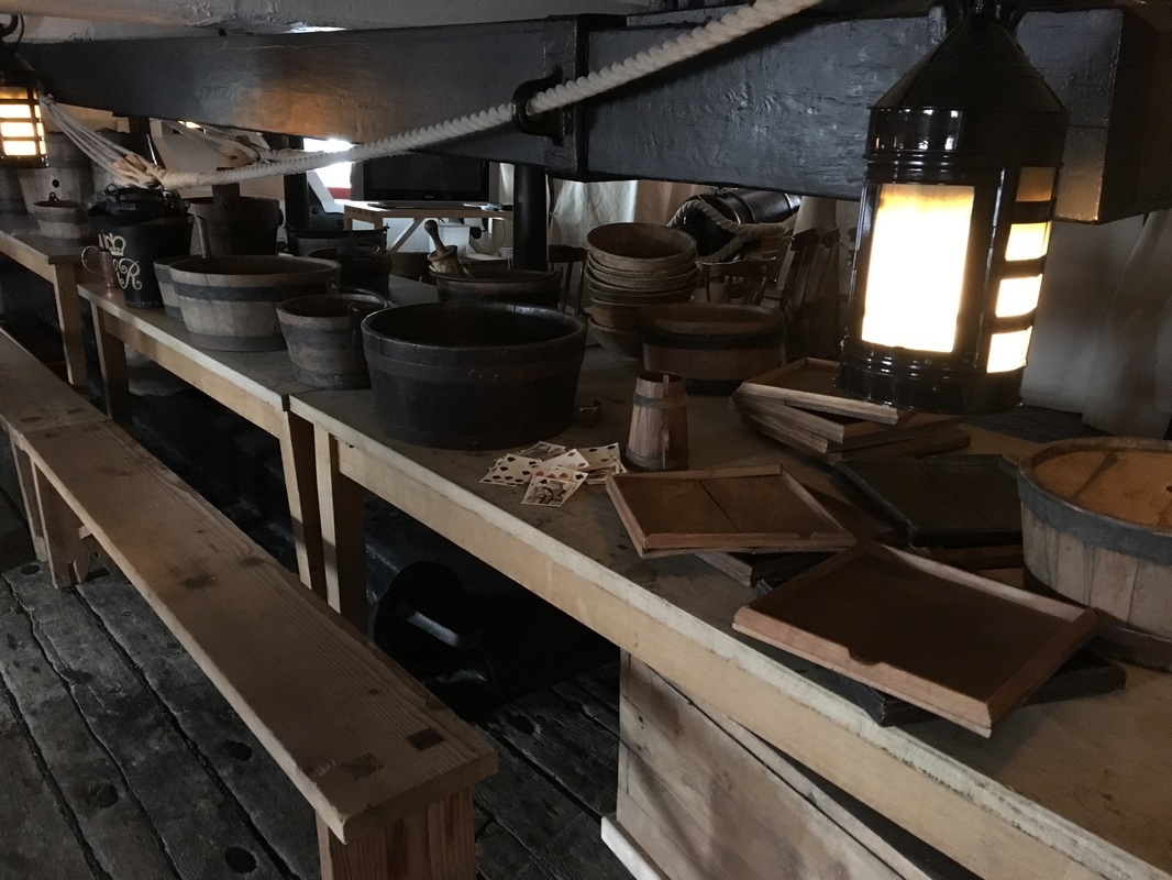
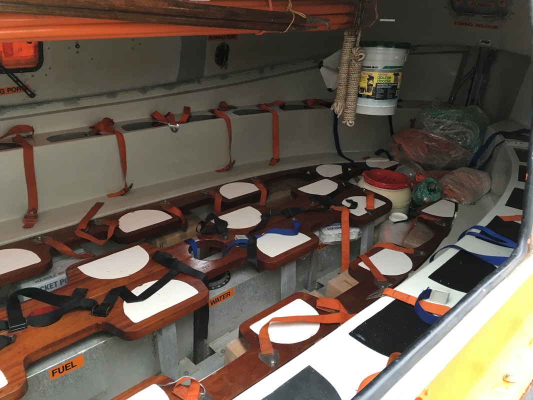
We made our way over the narrow and winding roadways by coach to the site of a former china clay pit that was converted into what is now The Eden Project. The Eden Project was founded by Tim Smit, whose vision was to transform this wasteland into a place where visitors can learn about connections between man and nature, as well as sustainable living. The Eden Project complex is made up of two huge biomes which house plants collected from the UK as well as from diverse climates and environments around the world.The biomes are made of hundreds of hexagonal and pentagonal plastic cells supported by steel frames.The adjoining domes hold thousands of plant species and each enclosure simulates a natural biome. The largest biomes simulate a Mediterranean environment and the other a rainforest. This is one of the coolest environmental centers I have ever visited! Where else can you go to experience California, South Africa, Costa Rica, and Madeira all in one day? At the top of the largest biome is a catwalk you can climb for a bird's eye view of the rainforest and its in-house waterfall. The Grosvenor Teacher Fellows joined a couple of the naturalists and photographer, Michael Nolan, for a little 360 fun at the top. Check out our picture! Also inside the rainforest biome are three titan arums (corpse flowers), two of which bloomed together overnight on May 1, 2016! This is a first for the Eden Project and the third is soon to join them. I wasn't able to get close enough to smell these flowers (maybe that's not such a bad thing?) because they were surrounded by a crowd of visitors, but I was able to get a picture of the life stages. Outside the biomes is a crazy statue made up of discarded computers, televisions, game systems, etc. Art is intended to make the viewer feel something and what I felt when I looked at this collection was shame and responsibility. It made me think about how much of our technology ends up in the landfill once it's been replaced by the latest and greatest update. Are there other ways we can recycle and reuse parts from old technology to create new? Do we really need the latest and greatest with each new rollout? The Eden Project draws over 1 million visitors each year and is finding new ways to bring more of the public to this ecological learning center, including adding sustainable and locally-sourced restaurants, hosting concerts for artists like Ellie Goulding and Elton John, and by adding zip lines and freefall simulators for the adventure-seekers. Kristen and Leah were desperate to try the zip line, unfortunately, we ran out of time. On our way back to the ship, I had to wonder what places like this exist in the US? What could we teach our students about sustainable agriculture if we had more places like The Eden Project and fewer amusement parks? After sleeping like a baby in my gently rocking bunk*, we spent the morning touring Portsmouth's Historic Dockyard and admiral Nelson's flagship, the HMS Victory, which has been restored and is in remarkable condition for being over 250 years old. Portsmouth has the world's oldest dry dock still in operation and it is also home to the Royal Navy. At the Historic Dockyard, we visited a workshop where all sorts of traditional boats are being restored by craftsmen and their apprentices. While inside the workshop, our guide pointed out places where the walls are peppered with bullet holes, remnants of assaults on the Royal Navy's docks by Nazi Germany's warplanes. I appreciated that the British government never covered up these reminders of the war because they serve as a sign of Britain's resilience during the darkest period in Europe's modern history.
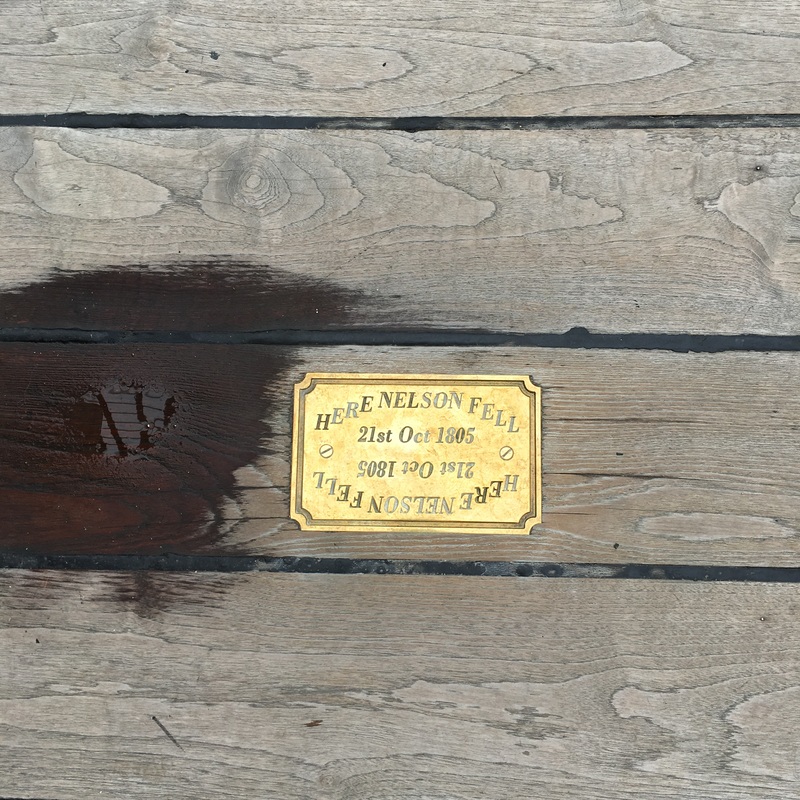
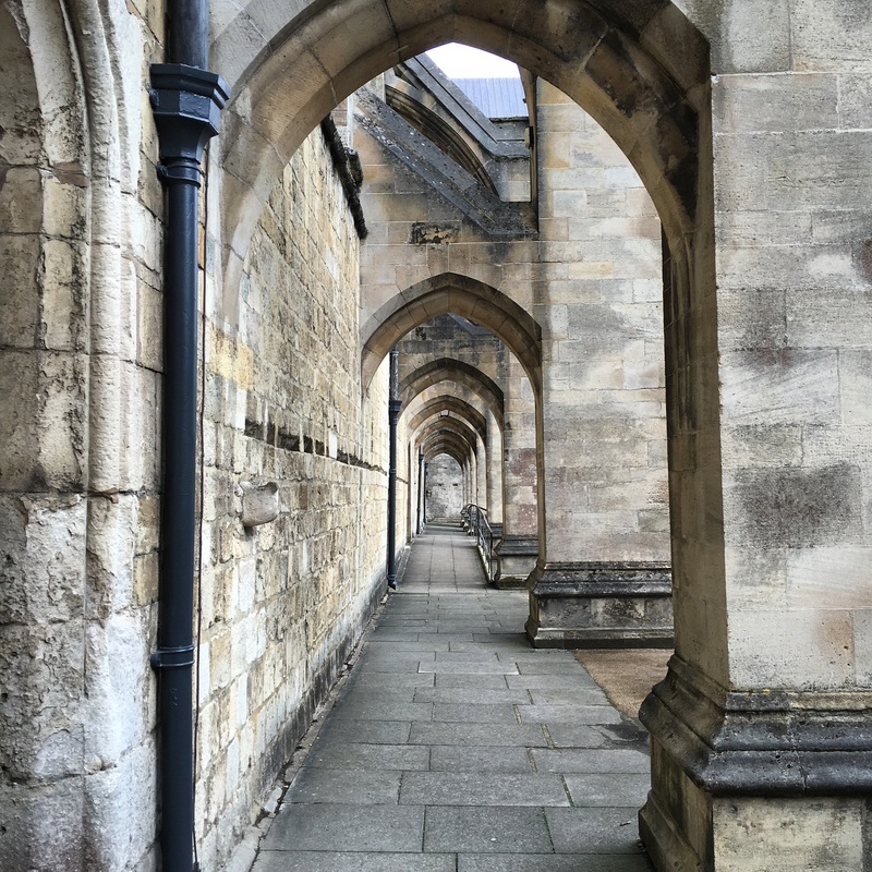
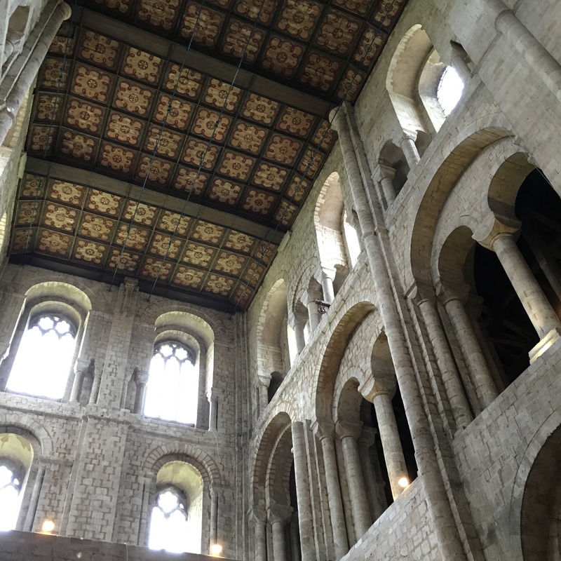
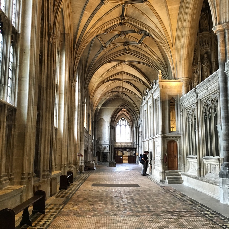
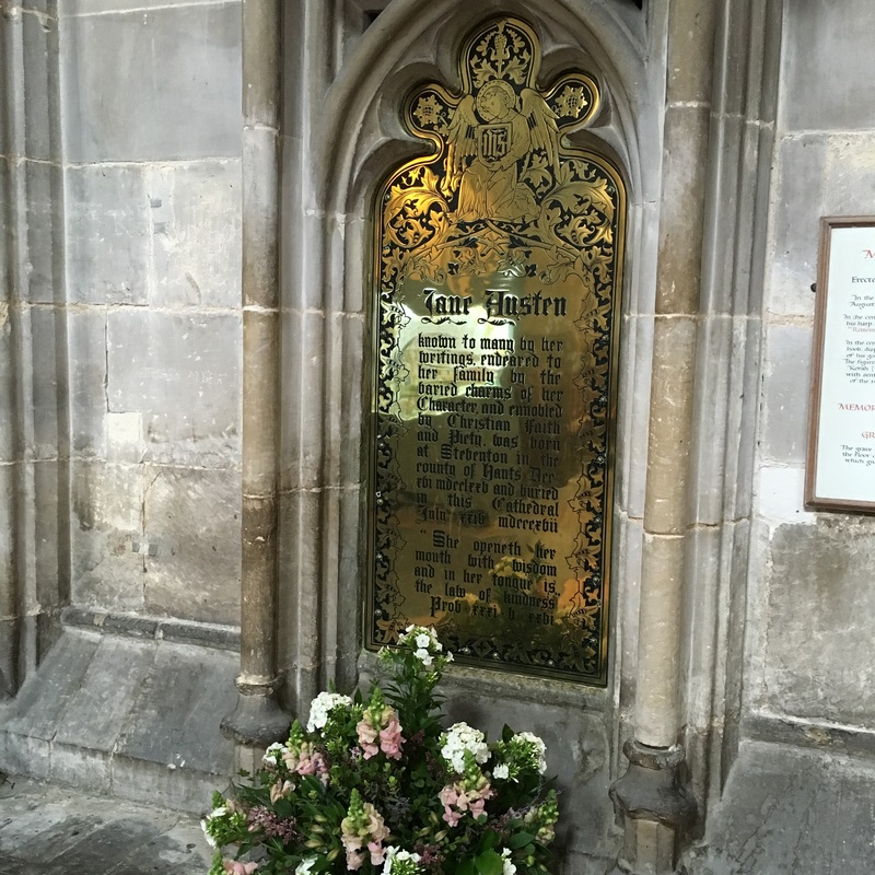
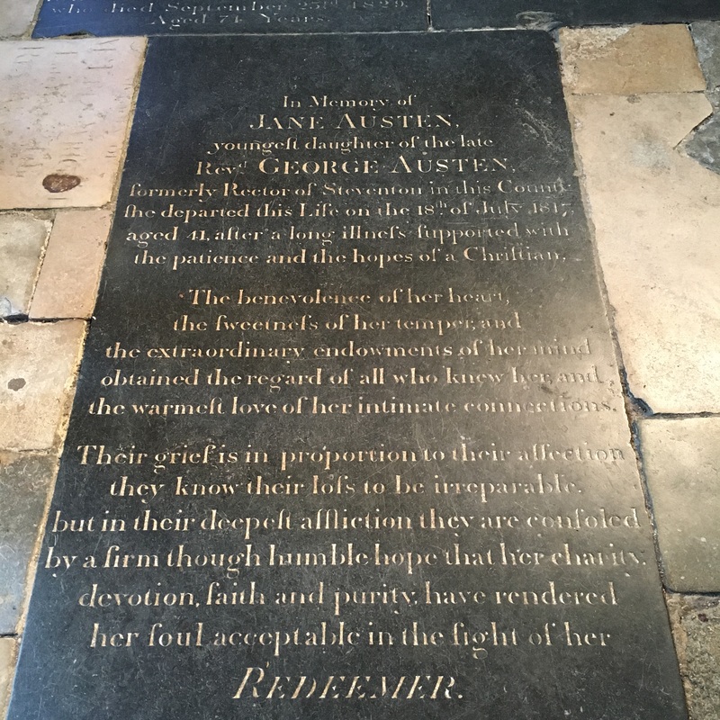
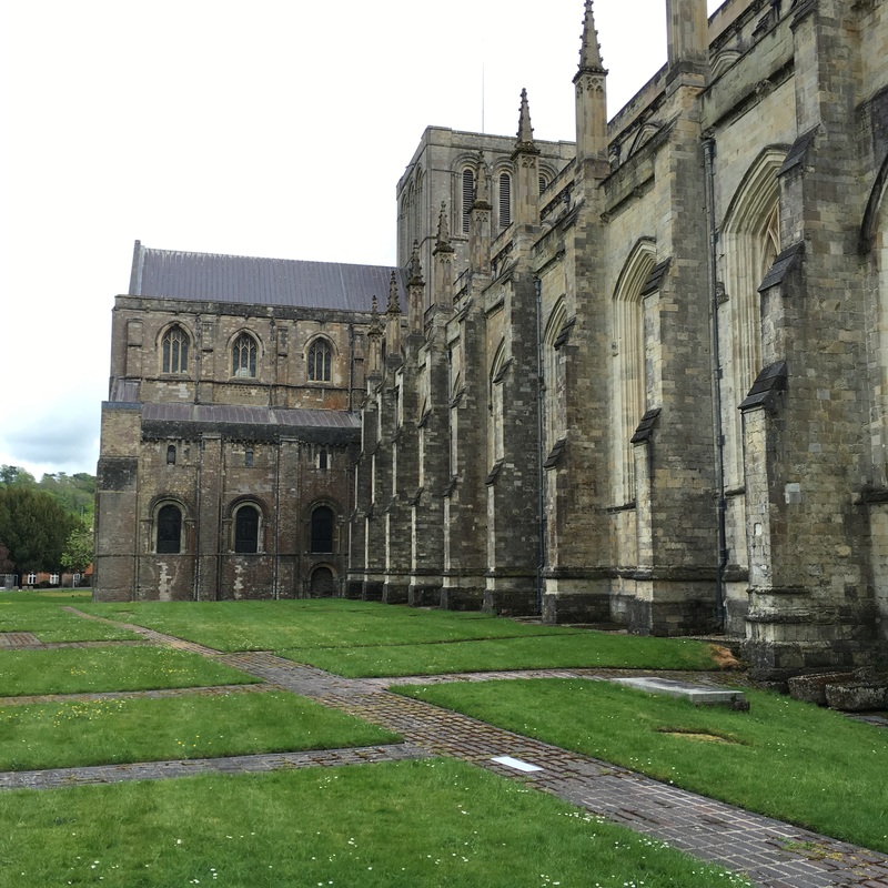
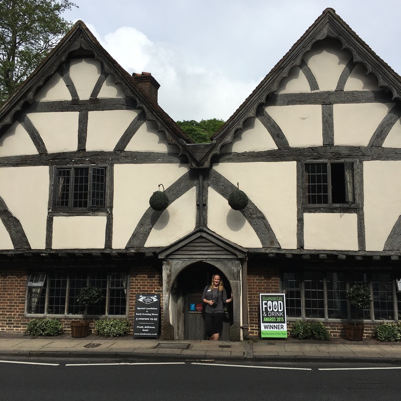
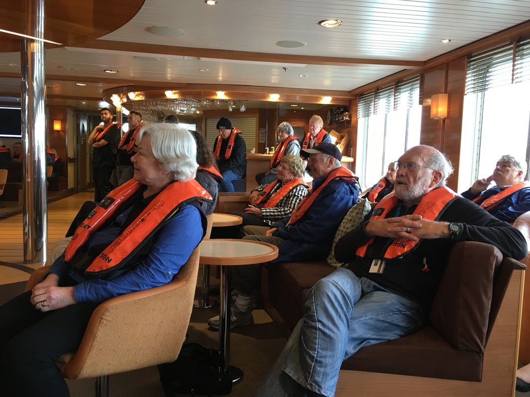
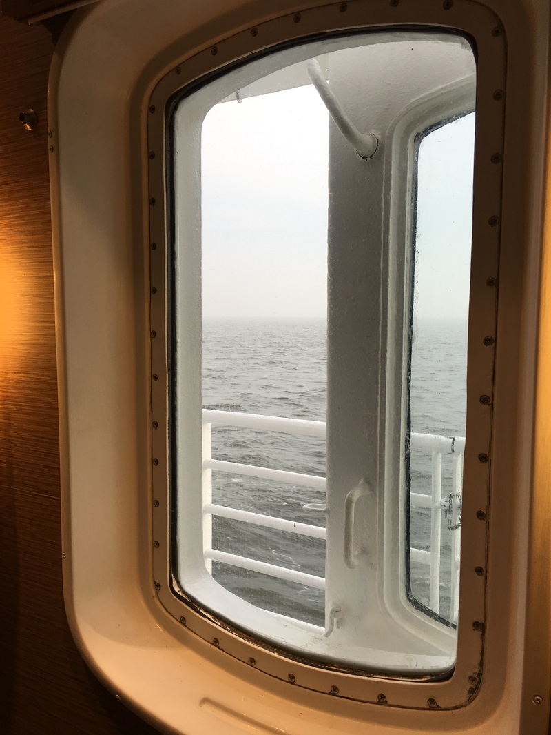
Leah, Kristen, and I took part in some hands-on stations to test our chances of becoming sailors. We had no idea what we're doing! The HMS Victory was the first naval ship I've ever been on and I felt dwarfed by its massive size. Inside the ship is a labyrinth of passages that become more and more confined the farther down the ship you go. It's incredible to think that this ship once carried over 800 men. I don't think I would have fared well as a sailor because the conditions inside were stifling. We paid our respects to Admiral Nelson and his victory at the Battle of Trafalgar on deck before departing back to the Explorer. For the afternoon, we took a ride to the town of Winchester, which was the capital city for a time after the Roman conquest in the year 43. Winchester is a quintessentially British town with all the charm of English gardens, cobblestone streets, thatched-roof cottages, and a gothic cathedral. Winchester Cathedral is the oldest surviving gothic church in Europe and it is also one of the largest. Groundbreaking for the cathedral began in 1079 with the limestone coming from the nearby Isle of Wight. The west window was deliberating smashed by Cromwell’s forces following the outbreak of civil war in 1642 when troops rode horses through the stained glass window. The broken window was eventually repaired after the monarchy was restored in 1660, but the panes remain in beautiful disarray, a reminder of the cathedral's poignant past. Inside the cathedral, we found a number of memorials for noteworthy individuals, including Jane Austen. Unfortunately, this cathedral was built upon peaty soil with a high water table, so the crypt often floods and the heavy limestone used to build it has been prone to sinking into the ground. At one point, the flooding caused so must havoc that the cathedral nearly collapsed! So between 1906-1911 a diver named William Walker worked every day under the crypt to underpin the nave and shore up the walls! This gorgeous and historic cathedral serves as an important reminder of the role that a strong foundation in geography plays in civil engineering and urban planning today. Tonight we introduced ourselves to everyone at the nightly recap. It was a little nerve-wracking speaking in front of everyone, but I'm so glad we had the chance because I know the guests have been wondering who we are and it has already opened the door to many great conversations with them. Interacting with guests so far has been an endless series of elevator speeches and small-talk, so the advice we received back in D.C. has been immensely helpful. I'm looking forward to learning from these travelers and their life experiences. I was already recruited by one female guest to get more involved in my local legislature and to get behind the 50:50 movement by 2020 (50% female representatives in government). I'd love to join her, but how on earth will I ever have time for teaching and politics? *Tip for GTFs prone to motion sickness: If possible, choose the bunk that runs parallel with the ship, not the one that runs perpendicular to the ship. Your resting body will move with the ship as it rocks back and forth, rather than against the waves and you'll wake up feeling like you've had the best night of sleep in ages (vivid dreams included). I am a huge believer in the idea that there are no coincidences in life and that things come to us when the time is right. How that magic happens, I cannot explain, but from the moment Nina told me I was selected for the British & Irish Isles expedition, I knew that this was meant for me and there was a reason I was being sent back to the UK.
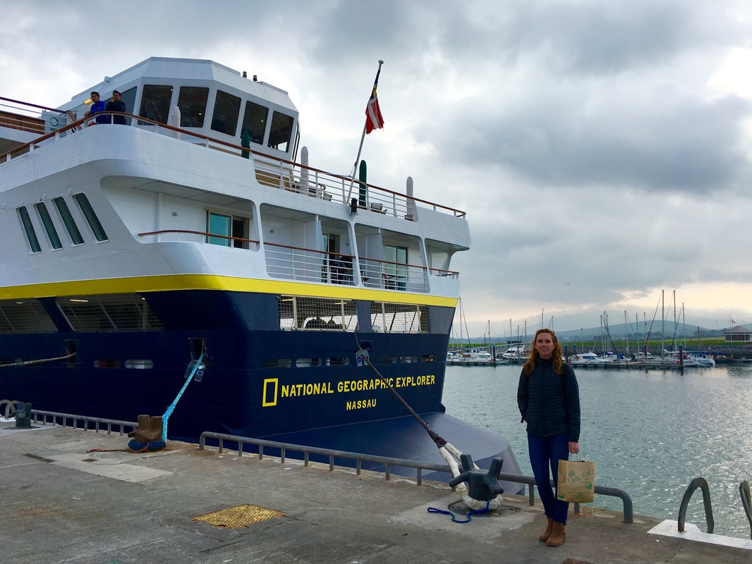
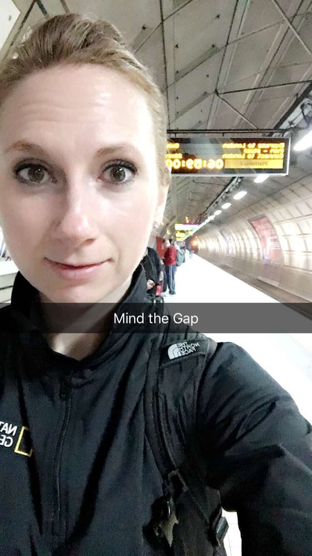
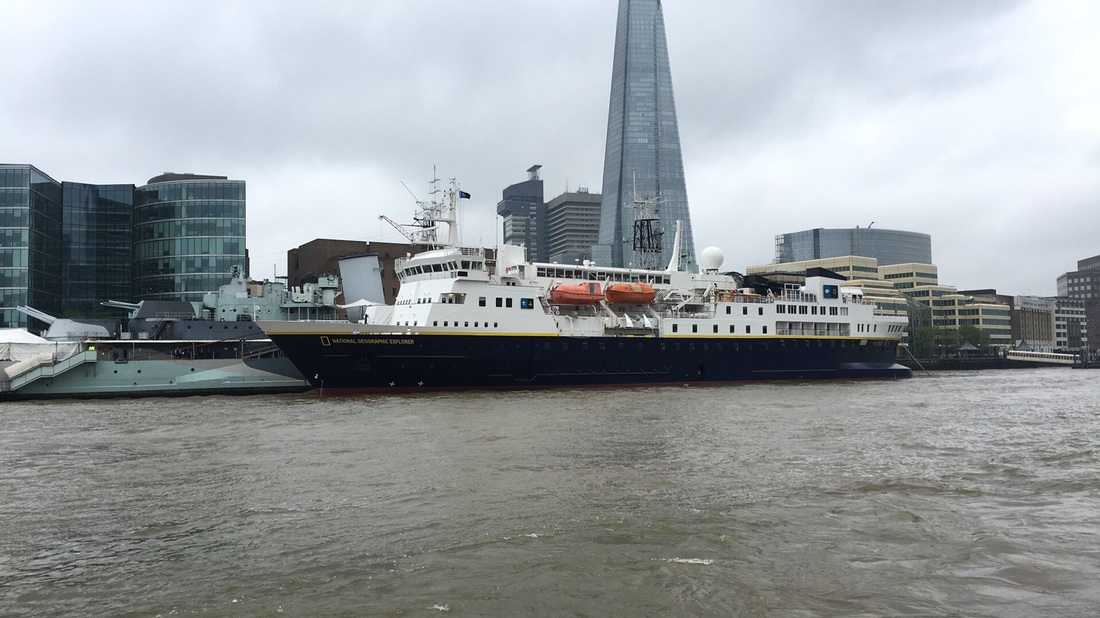
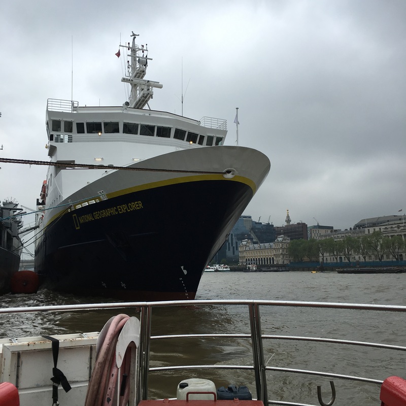
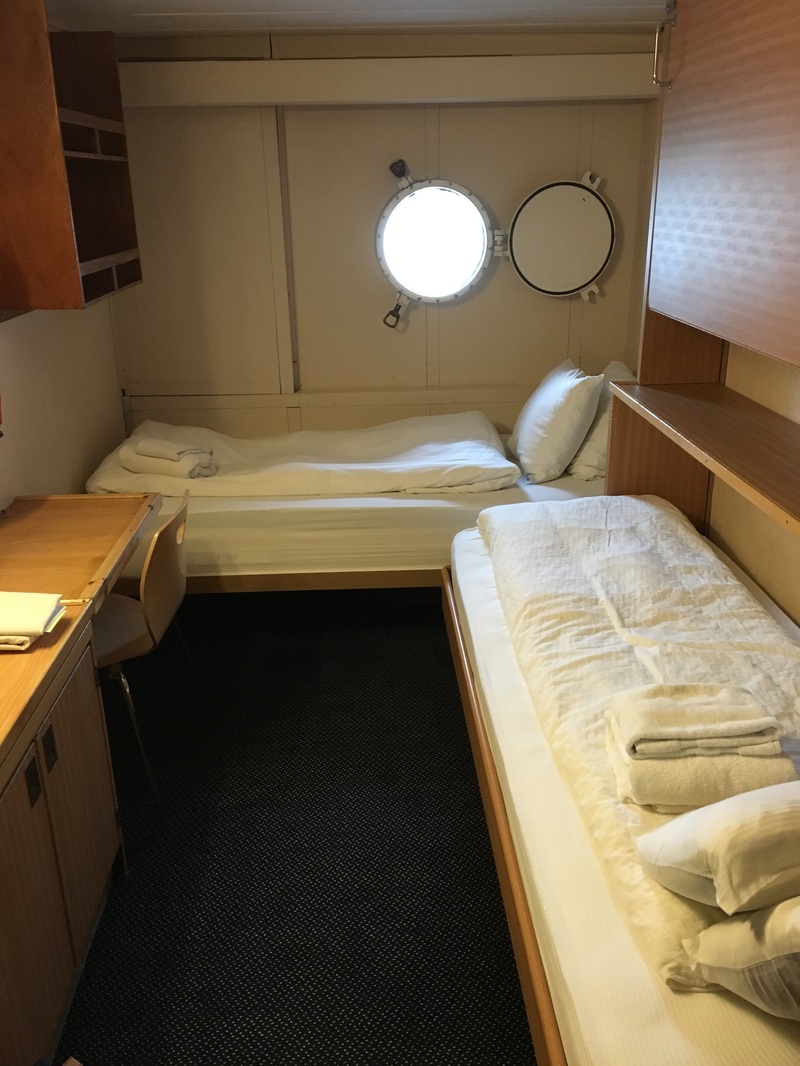
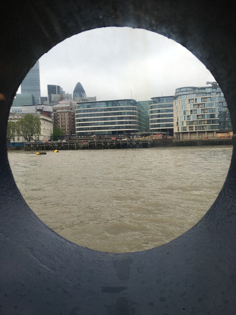
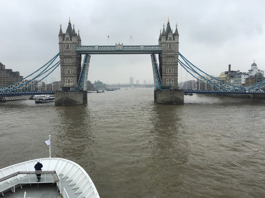
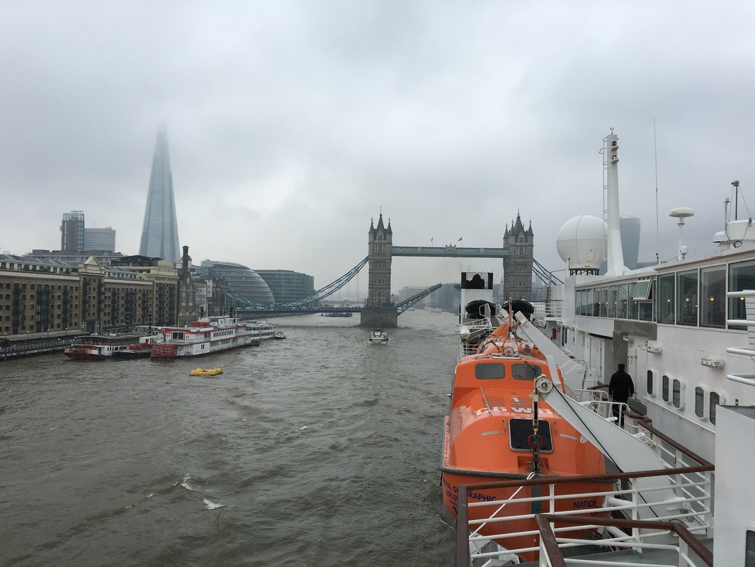
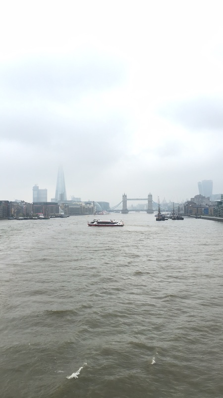
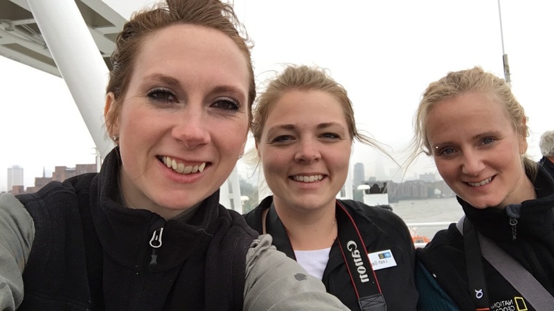
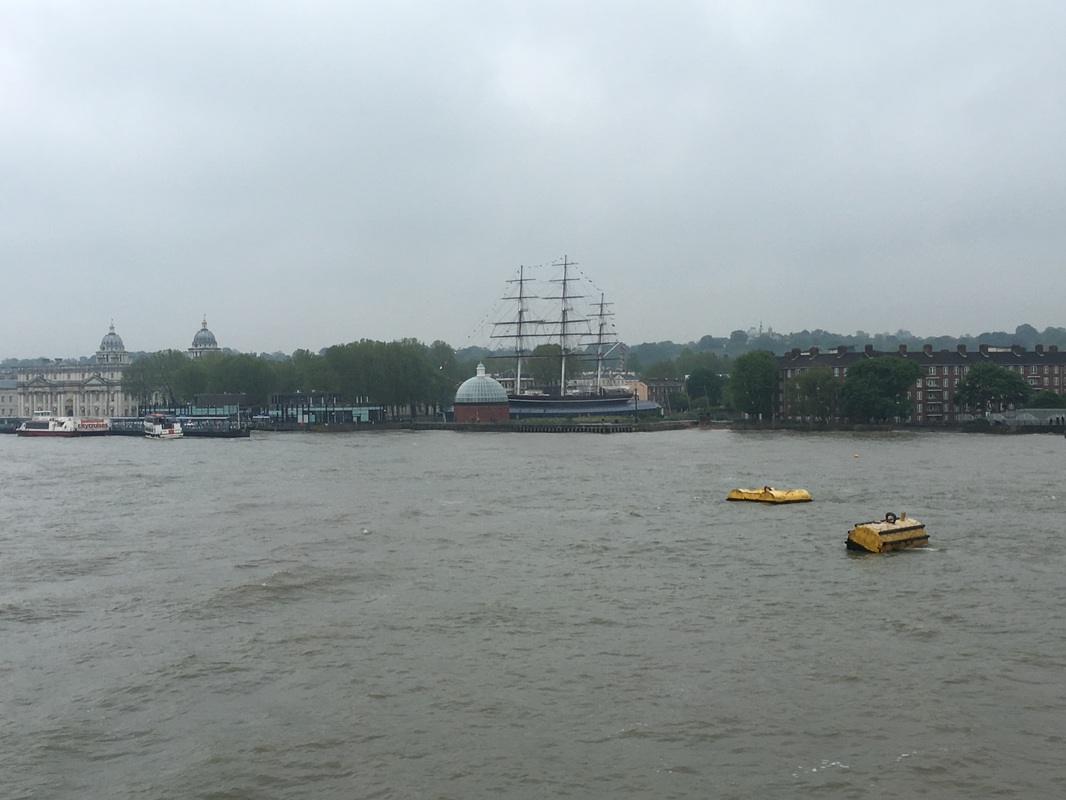
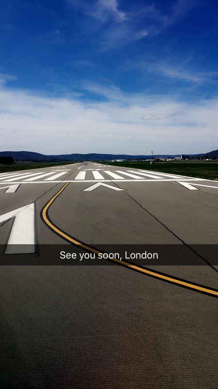
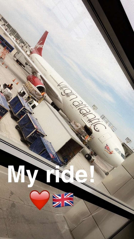
England feels like home because it's one-half of who my sister and I are; our mom is from England and we spent school vacations there visiting our grandparents and cousins. We have so many lovely memories of our time spent there, but we haven't been back since saying goodbye in 2011. In the winter of 2010 our gran passed away, followed by our grandad just after Christmas of the same year, which meant two sad trips in less than year's time. I spent January of 2011 in England helping my mom pack up their house and getting it ready to put on the market. We returned to NY and about 7 weeks later our dad passed away. The next three years or so were pretty tough on all of us and we spent a lot of time and energy trying to distance ourselves from anything that reminded us of what we'd lost. So when I found out that I had been chosen for this expedition, I knew it was my time and my sign. I cried when we touched down at Heathrow this morning because I was both so happy and so grateful to be back. We were bused to the hotel where we joined other weary but excited guests for a 3-hour wait before the shuttle to the Explorer. Once we were finally on the shuttle, it took more than an hour to cross central London. Our apologetic tour director explained that the newly created bike lanes were to blame for the delay in this already congested city. This is a familiar lament that is not exclusive to London. How do we find the balance between greener transportation and sound infrastructure in cities where millions of people commute on a daily basis? The next wave of excitement hit once we saw the Explorer docked on the Thames. We were rushed aboard because the Tower Bridge was waiting to let us through, which meant creating an even bigger traffic jam than the one we just came through for those who needed to cross it. Once on the ship, our first order of business was to run all over it like kids to find the common areas, meet our expedition leaders, and to reunite with our mentor, Erin. Check out the video tour of cabin B211! Sailing down the Thames and under the raised Tower Bridge was the first spectacular moment of the expedition because of the river's history and because it's something few people get to experience. Despite the rain and wind, we stayed on deck as the ship passed the Greenwich observatory and crossed the prime meridian, only going back inside after we passed the Thames Barrier, which closes to protect the city from high tides and floods. I had not realized London was so vulnerable to the sea and without the barrier, the Houses of Parliament, the O2 arena, Tower Bridge and the surrounding neighborhoods would all be submerged in flood water. The Thames Barrier was created in 1982 and already needs to be modified to account for the anticipated changes in both sea and land levels. Seeing this barrier made me think about other coastal cities that may be at risk due to climate change and rising sea levels. What preparations are other cities around the world making to protect their infrastructures and citizens? How can the Thames Barrier serve as a model for other locations? Hi guys! I just wanted to send out a quick message before my flight leaves. It will be kind of crazy once I get to London and join the other fellows and guests on the ship, so I wanted to let you know what's happening and where I'll be for the first few days. Check out my first message on YouTube. This is just bye for now and see you again in a few days! Don't forget to follow me on Snapchat (sarlouisesmith) and Instagram (sarlouiseshutt) for pictures along the way. |